Written & Fact-Checked by Gabor Kosaras
"I have coordinated private overland journeys across the Potosí Department for over 15 years. At 4,090 meters, Potosí demands careful acclimatization and vetted local miners for safe underground visits. All entrance fees, road accessibility notes, and transit times below are updated monthly based on direct driver logs."
Before You Go
The six essential questions worth answering before exploring the Imperial Villa.
Best Time to Visit
Dry and sunny winter months (May–Oct) offer clear skies and accessible roads.
How Many Days Do You Need?
From a 1-day colonial mint highlight to a 3-day regional Torotoro circuit.
What to Pack
Thermal layers, sturdy boots, and warm windbreakers for sub-zero Andean nights.
Extreme Altitude Reality
Sitting at 4,090 m (13,418 ft). Staging via Sucre (2,810 m) is strongly advised.
Are Mine Tours Safe?
Active artisanal mines with narrow shafts. Wear full PPE and use certified guide teams.
Is Potosí Safe?
A tranquil, safe colonial city. Exercise standard awareness in bustling market areas.
How to Get to Potosí
Explore the best transportation routes connecting Potosí with Sucre, Uyuni, La Paz, and Cochabamba.
Private Transfer
3.5–4 Hours · $$The safest, most comfortable way to arrive from Sucre (3.5 hrs) or Uyuni (3.5 hrs) with door-to-door hotel pickup.
By Public Bus
4–10 Hours · $Frequent departures run daily from Sucre, Uyuni, and overnight sleeper buses from La Paz.
By Air (Via Sucre / Uyuni)
Combined · $$$Fly into Sucre Airport (SRE) or Uyuni Airport (UYU), followed by a private 3.5-hour overland transfer.
Getting to Potosí from Major Destinations
Smooth paved mountain highway by private 4x4 (3.5 hrs).
Scenic paved road crossing the Altiplano (~3.5 hrs).
Direct overnight sleeper bus (9–10 hrs) or flight via Uyuni.
Gateway route to Torotoro National Park (4.5 hrs overland).
Short excursion north to the volcanic lagoon (35 mins).
Flight to Sucre (35 mins) + connecting private transfer.
What to See
UNESCO colonial treasures, active silver mines, natural thermal springs, and national park wonders in the Department of Potosí.
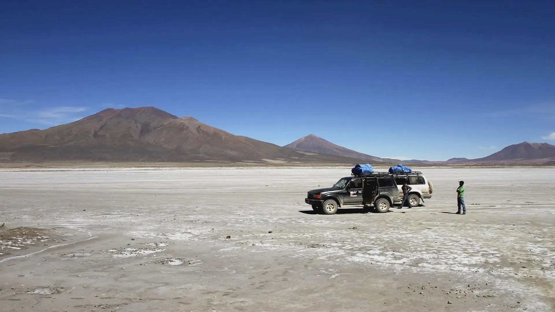
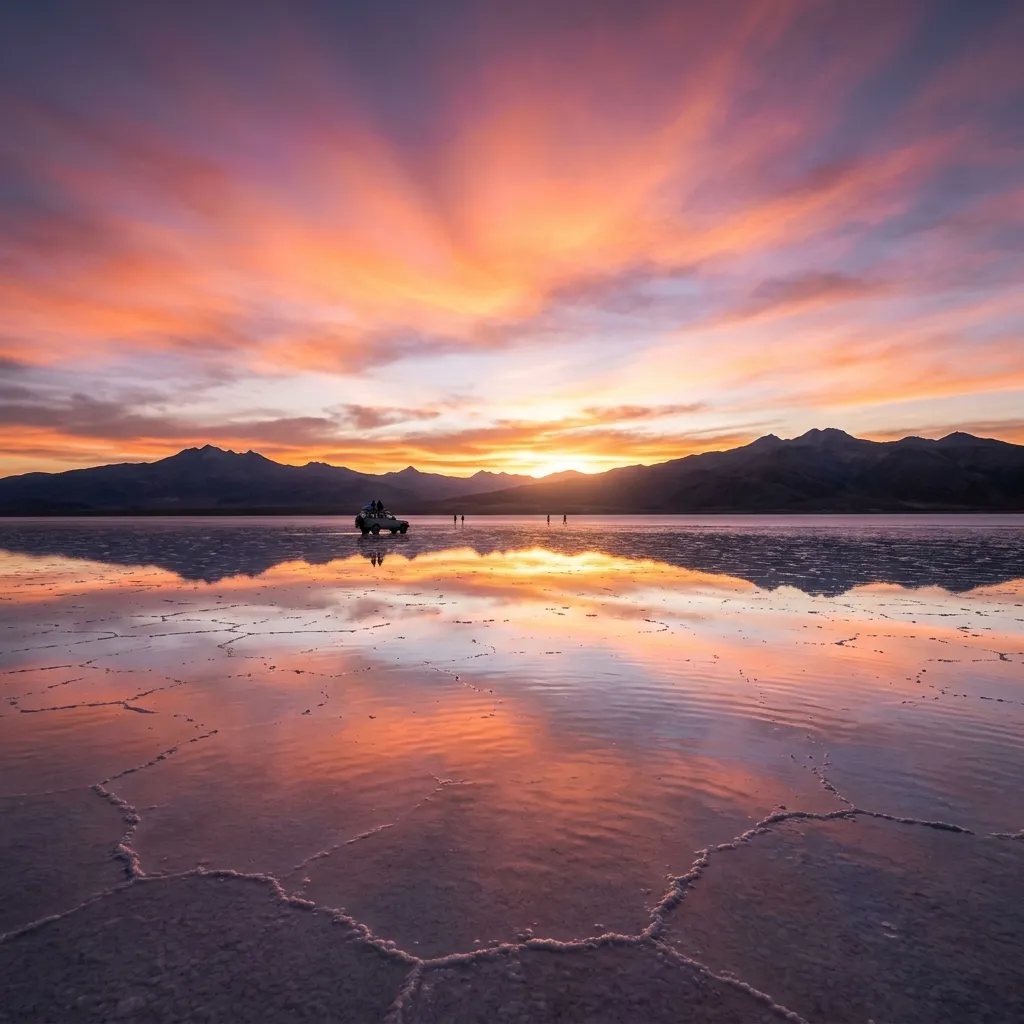
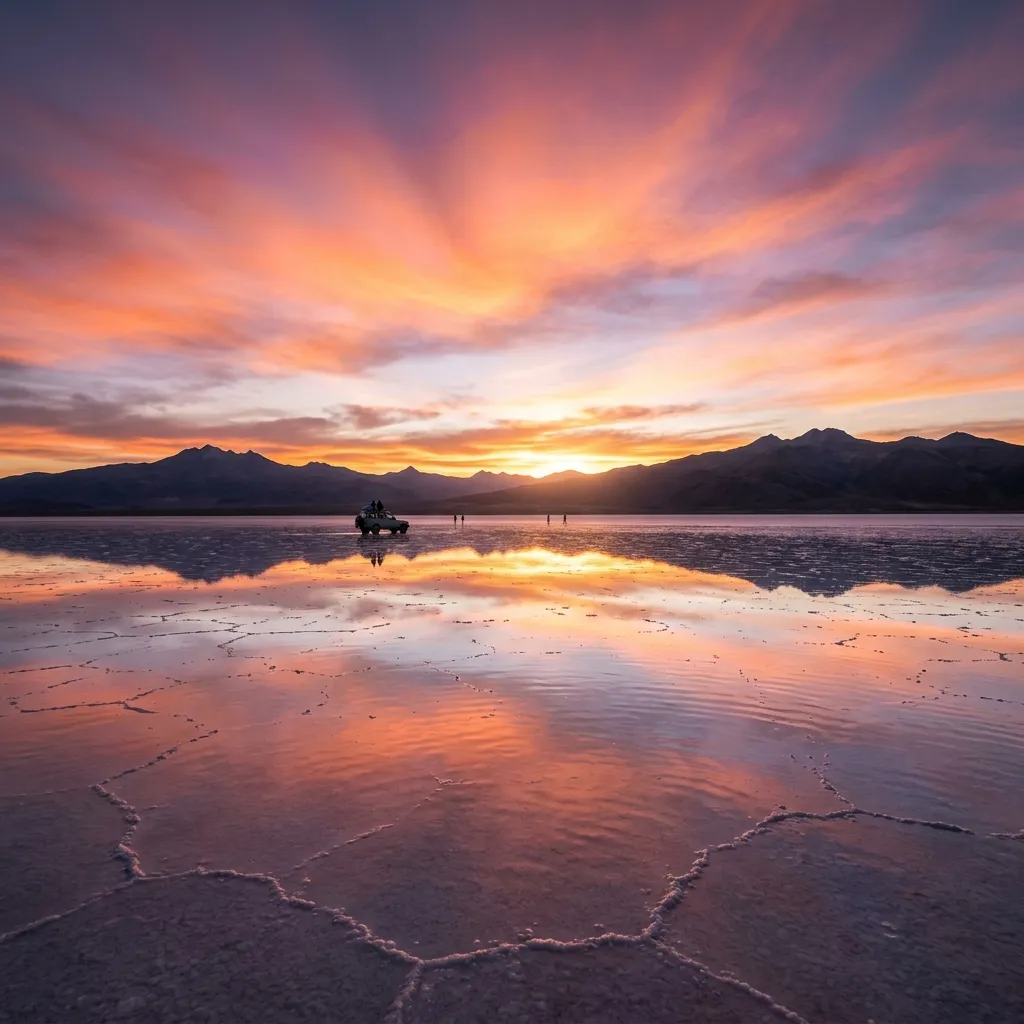
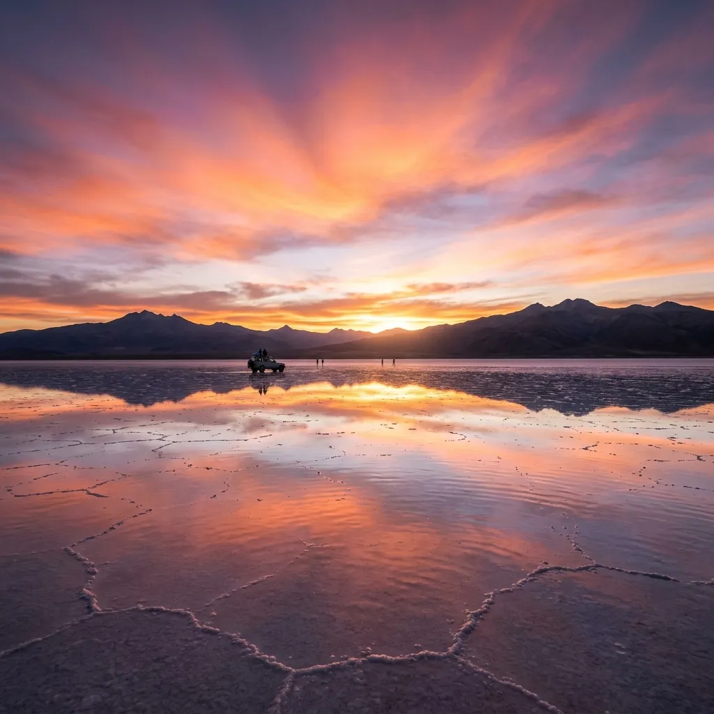
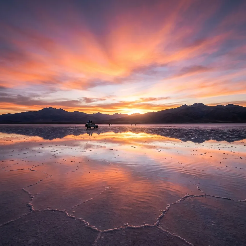
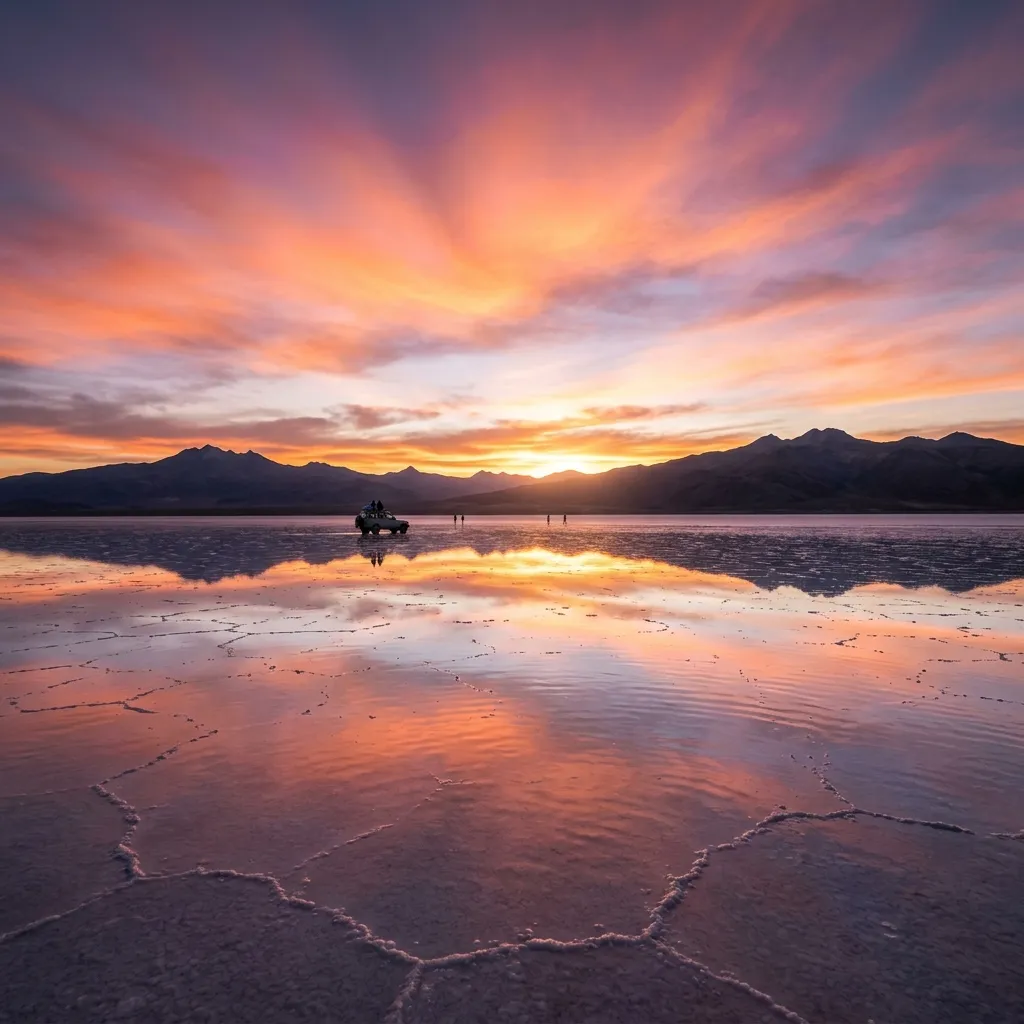
Salar de Chiguana: 2027 Guide to Bolivia's High Salt Basin
The Salar de Chiguana overlooks the Ollagüe volcano and the Tomasamil hill.
Explore Salar de Chiguana in southwest Bolivia. Plan your route past Ollagüe Volcano with practical transit and logistics.

Salvador Dalí desert
is characterized by landscapes that resemble surrealist paintings by Salvador Dalí.The Salvador Dalí Desert (Desierto Salvador Dalí)
Salvador Dalí Desert (Desierto Salvador Dalí), also known as Dalí Valley (Valle de Dalí), is an extremely barren valley of southwestern Bolivia, in the Potosí Department.
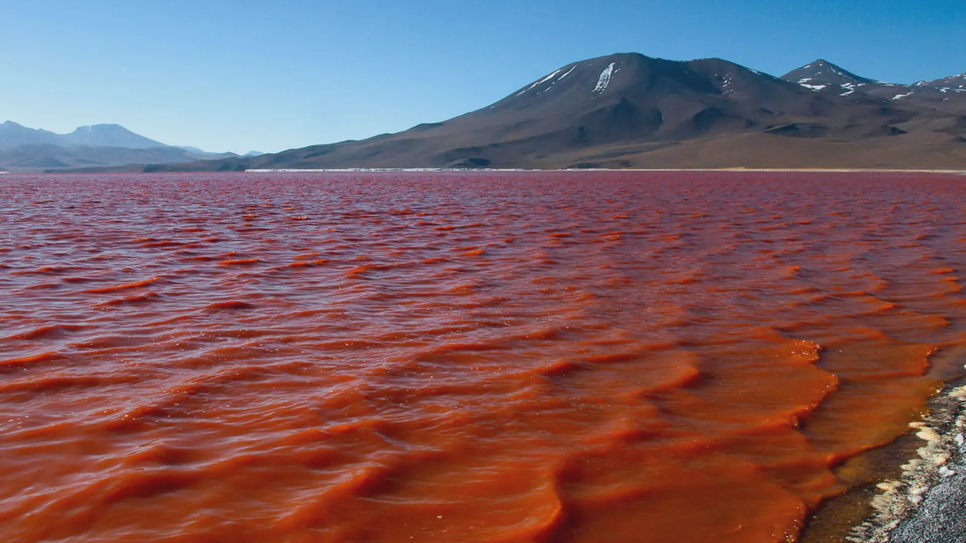
Red Lagoon
The Red lagoon (Laguna Colorada) is a shallow lake within the Eduardo Avaroa Andean Fauna National Reserve and close to the border with Chile. The lake is famous for its strong red colour caused by algae that provide food for large flocks of pink flamingos.
The Red lagoon (Laguna Colorada) is a shallow lake within the Eduardo Avaroa Andean Fauna National Reserve and close to the border with Chile. The lake is famous for its strong red colour caused by algae that provide food for large flocks of pink flamingos.
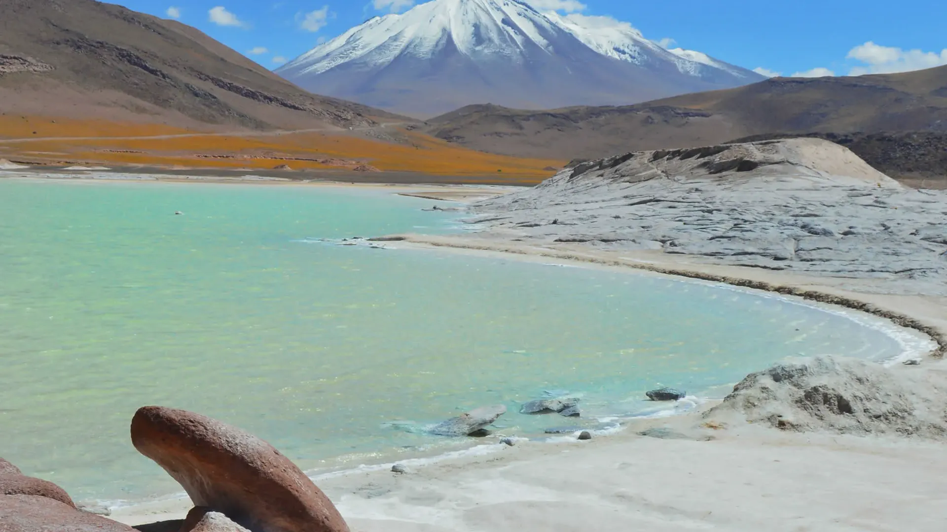
Green Lagoon
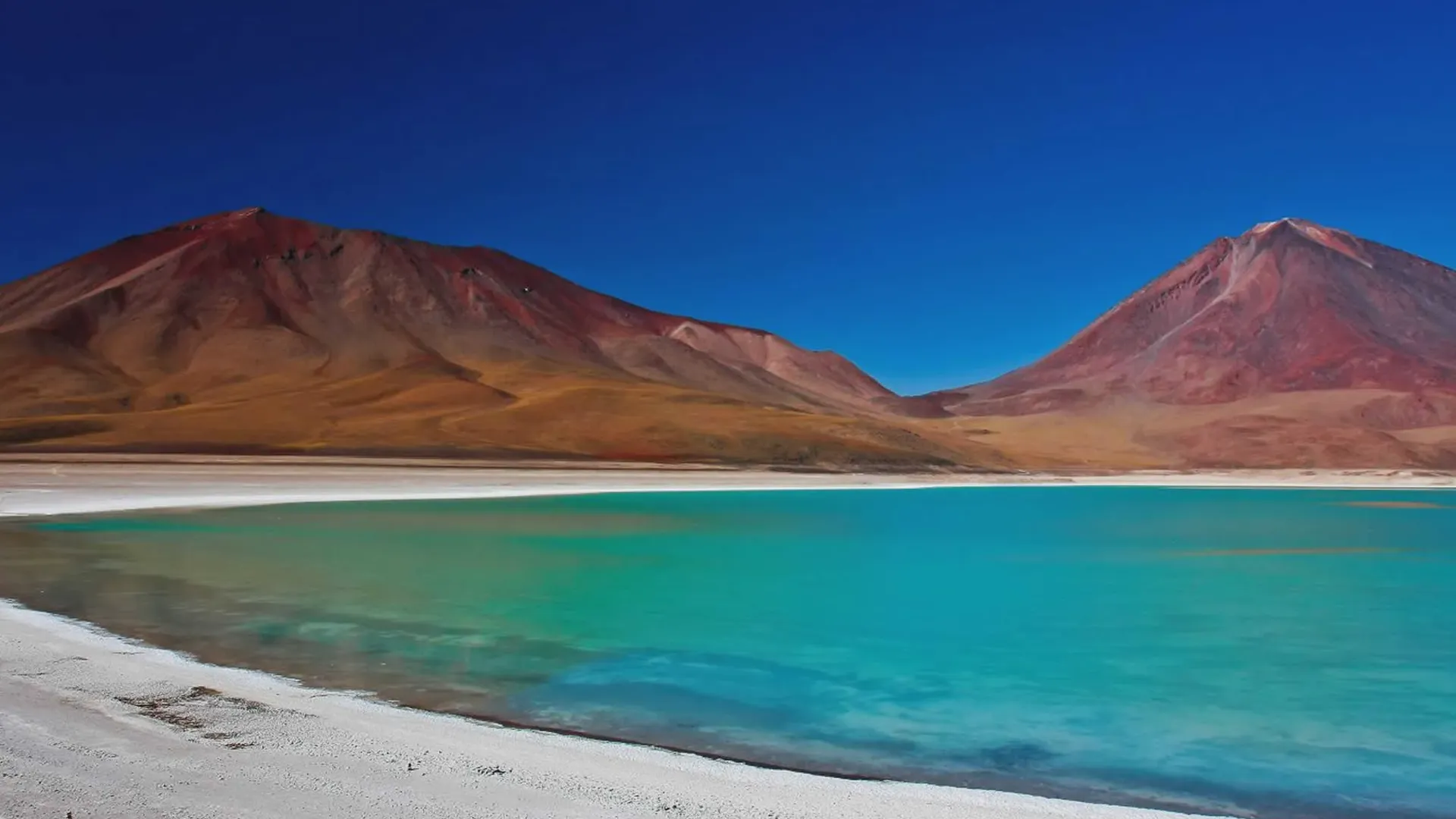
Green lagoon (Laguna Verde) is a high-altitude mineral lake in the Eduardo Avaroa Reserve, known for its beautiful green color.
Green lagoon (Laguna Verde) is a high-altitude mineral lake in the Eduardo Avaroa Reserve, known for its beautiful green color. It sits at the foot of 2 volcanoes, Licancabur and Juriques, which straddle the border with Chile and are reflected in the water when the weather is calm.
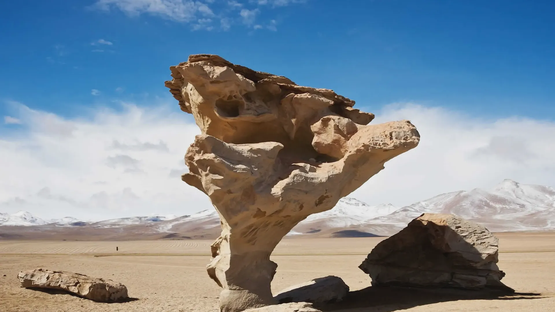
Rock Tree (Árbol de Piedra)
The Rock Tree (Árbol de Piedra) is a tree-like rock formation in the Siloli Desert desert that offers great photo opportunities!
The Rock Tree (Árbol de Piedra) is a tree-like rock formation in the Siloli Desert desert that offers great photo opportunities!
Andean Fauna
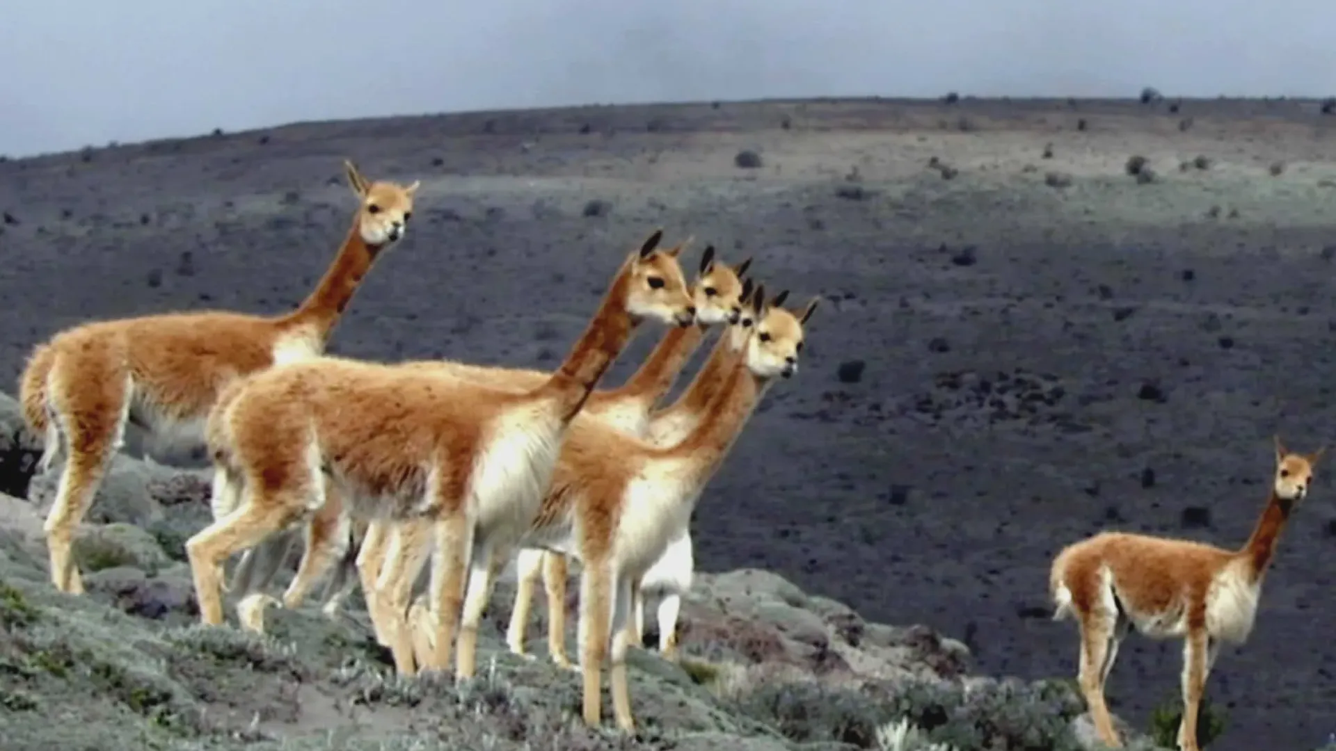
The Andean fauna populating the surroundings of the Uyuni Salt Flat and the amazing lagoons is diverse and rich.
The Andean fauna populating the surroundings of the Uyuni Salt Flat and the amazing lagoons is diverse and rich. During the most popular tours to the Eduardo Avaroa National Reserve it is possible to observe these species in their natural habitat and be amazed by nature.
Honda Lagoon
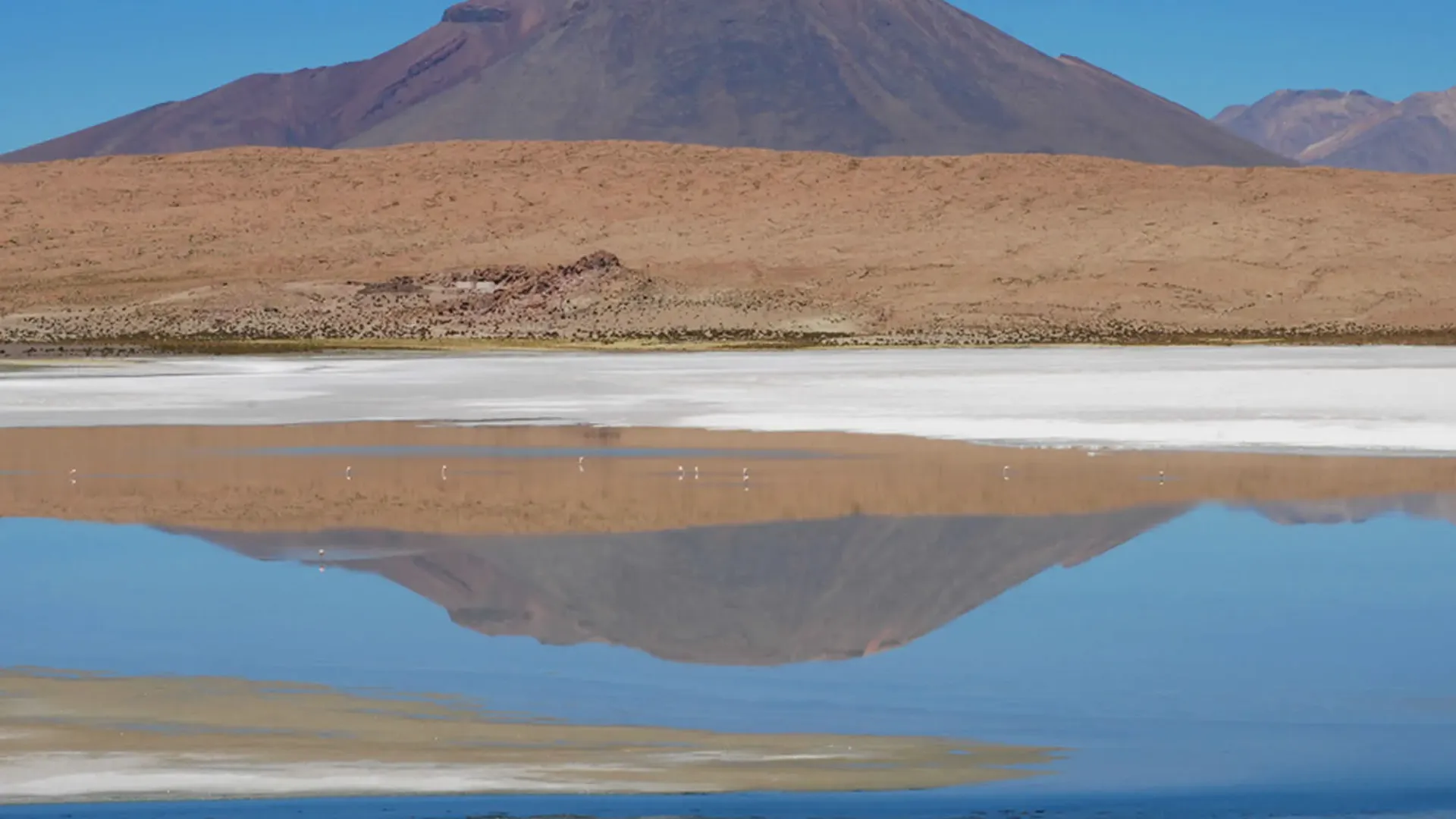
The Honda lagoon is the deepest lagoon, its light blue waters contrast with the highland's earthy colors.
The Honda Lagoon is located inside Eduardo Avaroa Natural Reserve
Incahuasi Island
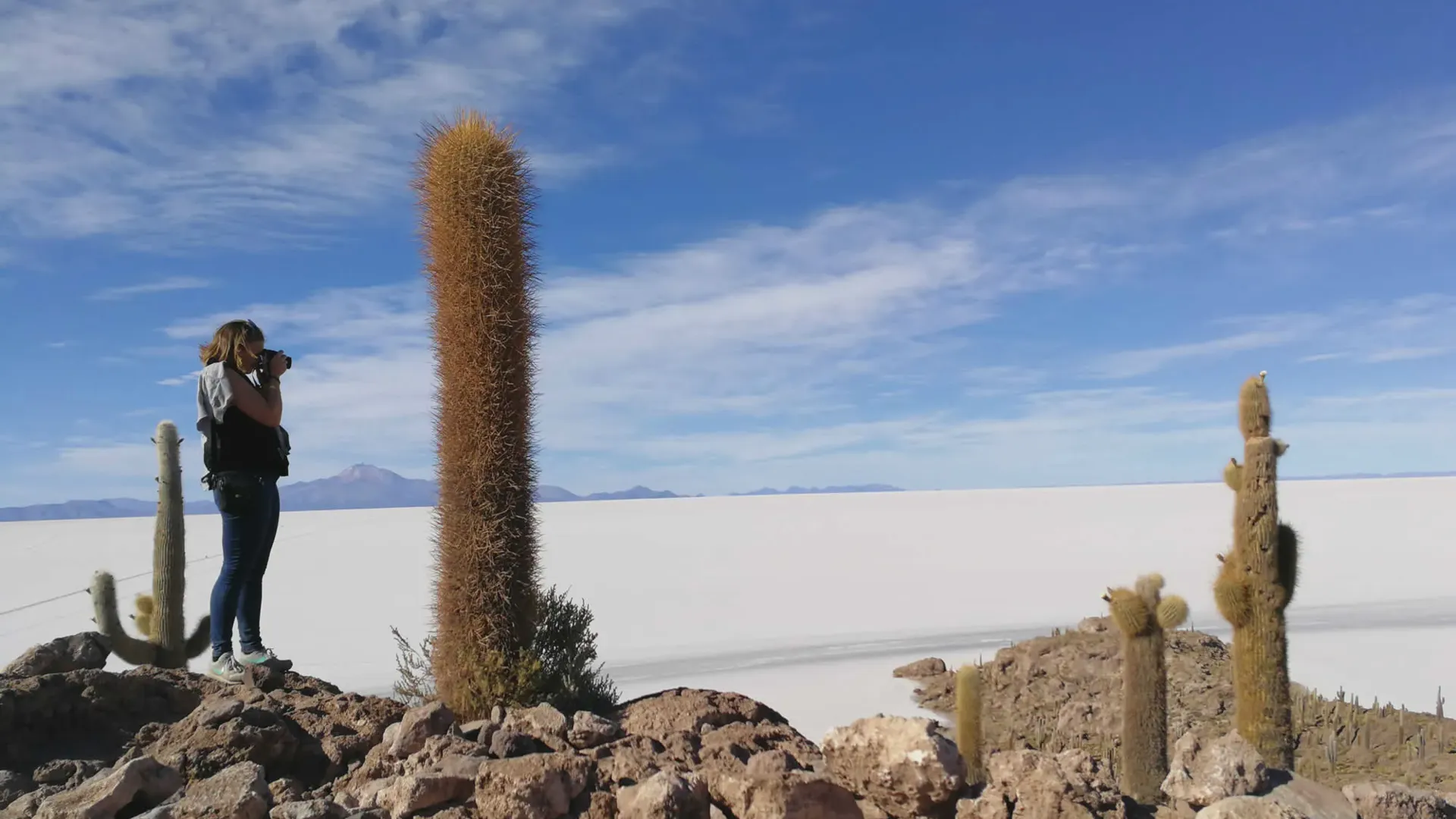
Set on the remains of a volcano, Incahuasi Island, was used as a resting place for the Incas who used to cross the salt flat with llamas.
Incahuasi Island or house of the Inca is a usual stop for the tourists visiting the majestic Uyuni Salt Flat. It is part of the Llica and Tahua indigenous communities territory, located 99 kilometers to the southwest of Uyuni Town at 3822 m.a.s.l..
Chiarkhota Lagoon
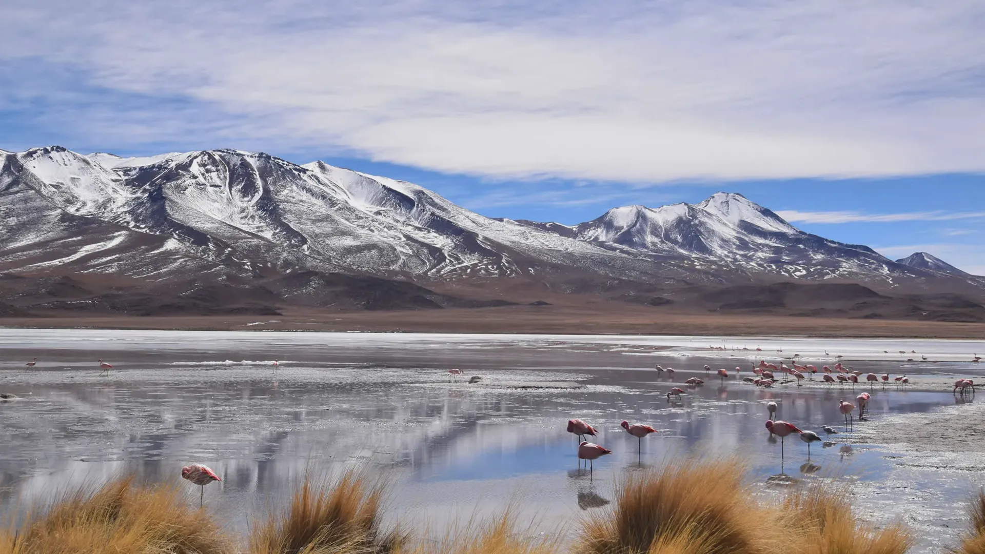
The Shiarkhota Lagoon or Chiar Khota is located in Sud Lipez province, Potosi, Bolivia.
The Shiarkhota (Chiarkota or Chiar Khota) Lagoon is a 35 hectare sweet water body situated at the feet of the Condoriri Mountain range in Sud Lipez province, Potosi, Bolivia.
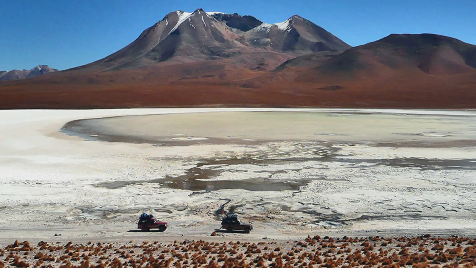
Ramaditas Lagoon
The Ramaditas Lagoon is a sweet water lagoon in Sud Lipez Province of Potosi.
The Ramaditas Lagoon is a sweet water lagoon with a surface area of about 4 square kilometers. It is situated inside the Eduardo Avaroa National Reserve in Sud Lipez Province of Potosi, close to smaller salt flats with no economical interest due to the low salt concentration.
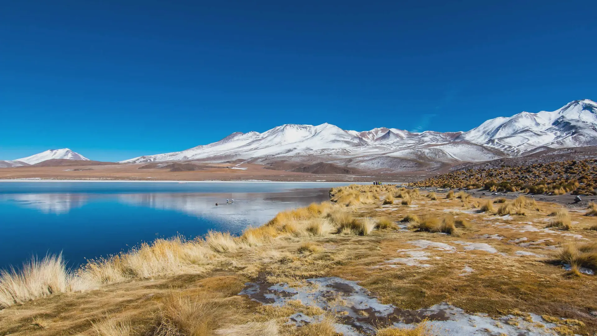
Cañapa Lagoon
Canapa is a salt water lagoon situated in Sud Liez province of the Potosi department, close to the Hedionda (smelly) Lagoon.
Canapa is a salt water lagoon situated in Sud Liez province of the Potosi department, close to the Hedionda (smelly) Lagoon.
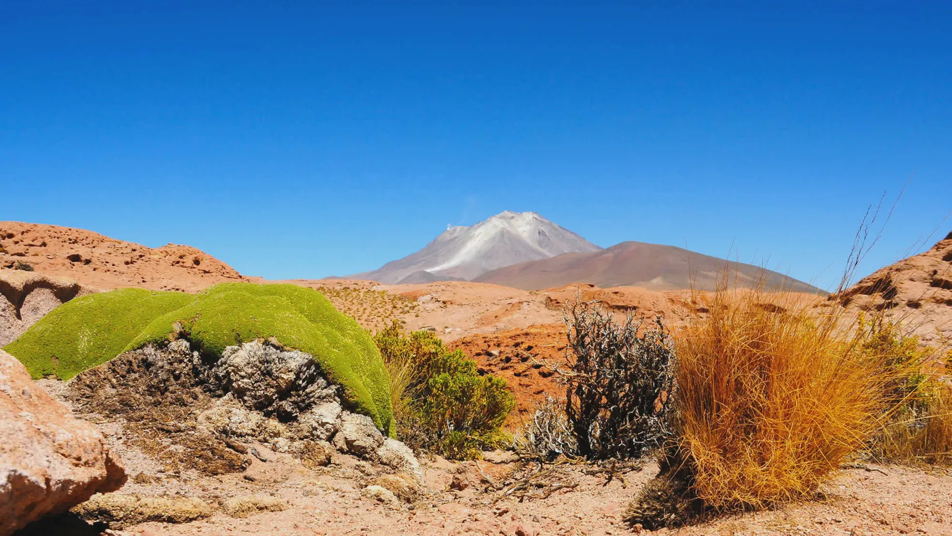
Ollague Volcano
Ollague let to enjoy a panoramic view of Ascotan and Carcote Salt Flats. The volcano has a crater of 1250 square meters from where displays fumarolic activity, particularly to the south of its summit area but no historical eruptions have been confirmed from Ollague. The volcano also contains a deictic summit lava dome.
Sulphur mines used to operate on upper western and southern flanks and were serviced by a road which reached 5650 m elevation. It is one of the highest (if not the highest) roads in the world. It has been used to descend on mountain bikes.
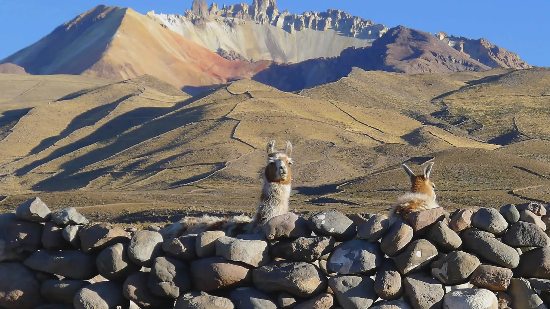
Tunupa Volcano
The Tunupa Volcano (Volcan Tunupa) is located at the Daniel Campos province in the Oruro department. The volcano has a height of 5432 meters and can be seen from the entire Uyuni Salt Flat. The Tunupa's Volcano area is home of different fauna species like flamencos, ostriches and foxes.
The Tunupa volcano is considered sacred by the communities that surround it such us Jirira, Ayk'e, Moqueta, Chantani, Vinto, Central Tawa, Chirivilla and Huaylluma.
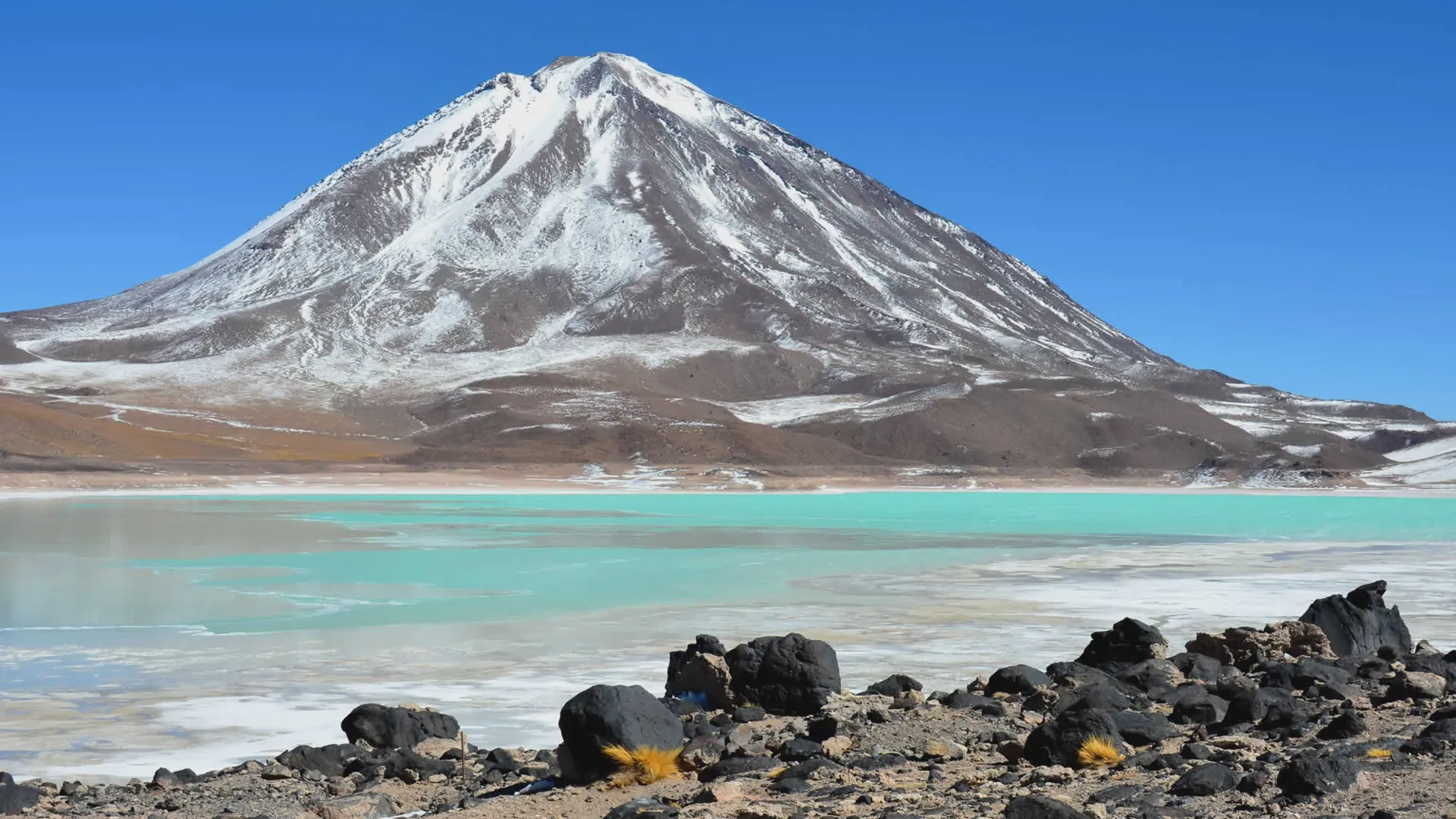
Licancabur Volcano
Guardian of the Verde Lagoon the Licancabur Volcano is very popular among tourists due to its similarity to Mars. The NASA has been making studies about the volcano reason why it captures more attention and interest.
The Licancabur Volcano - Volcan Licancabur is one of the most beautiful moutains of South Lipez. It's located at the Occidental Mountain Chain at an elevation of 5960 meters above the sea level. It is a highly symmetrical stratovolcano on the southernmost part of the border between Chile an...
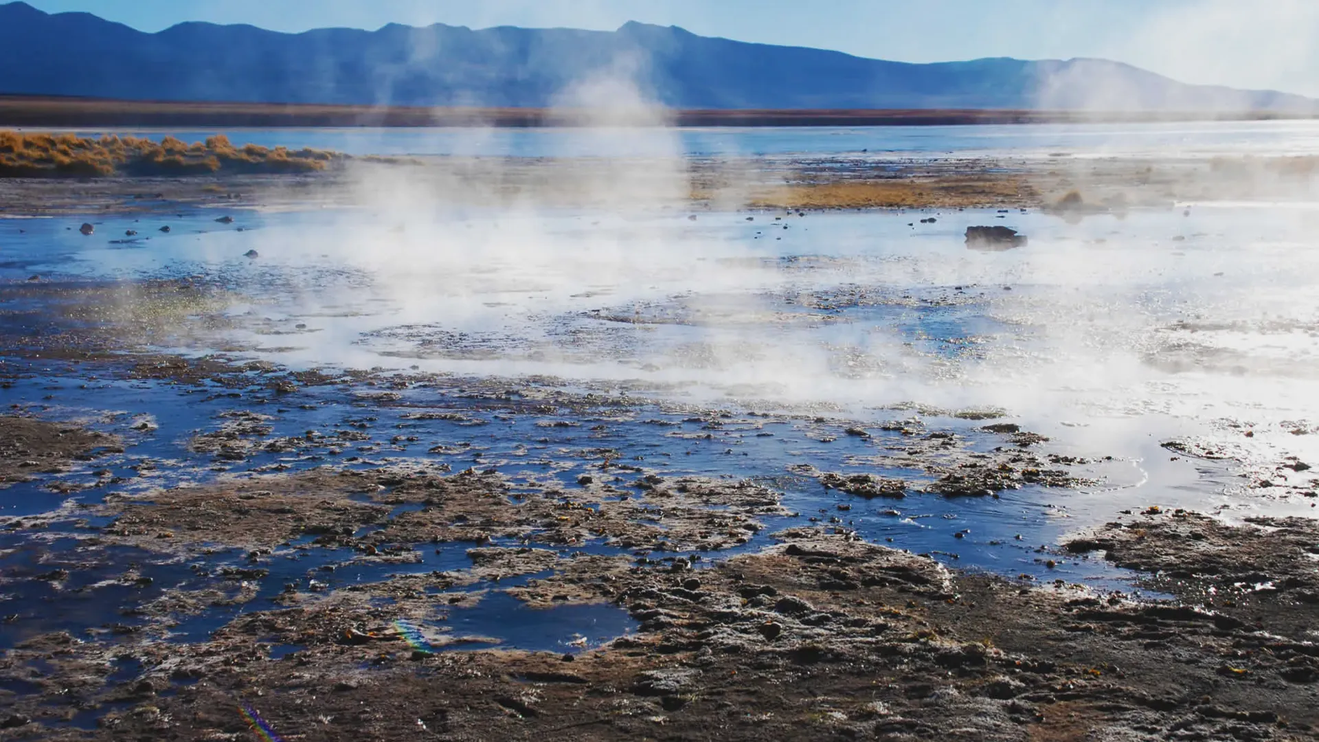
Polques Hot Springs
The Polques hot springs are well-known because of the intense volcanic activity in the area. Early in the morning tourists enjoy a bath in these healing waters.
This enormous salty lagoon features a small mineral-rich thermal water swimming pool where visitors can take a bath early in the morning. The water temperature is usually from 28 to 30 Degrees and it is famous for curing arthritis and rheumatism. There's a restaurant, changing sheds and toilets. ...
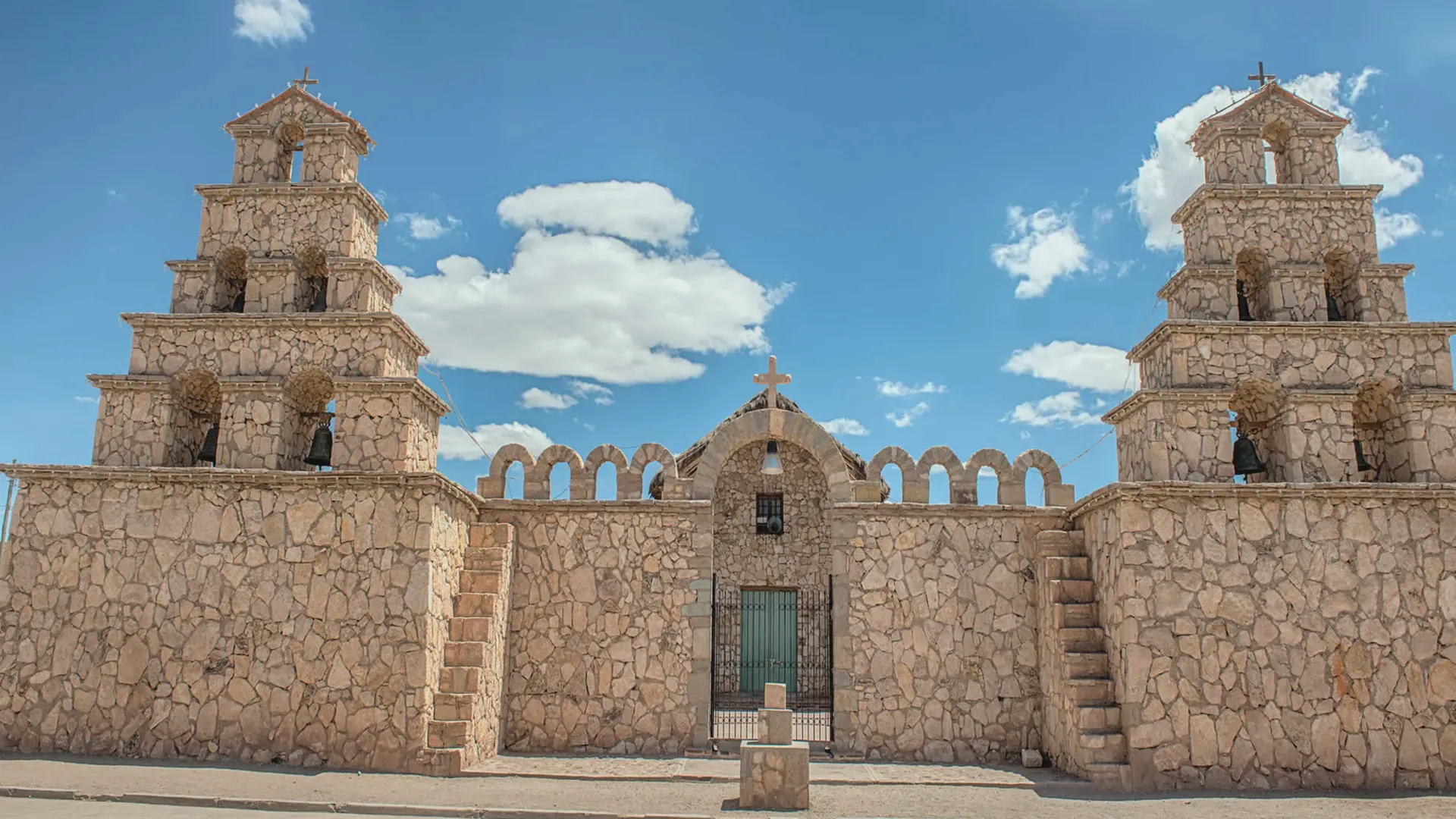
San Cristobal town
Community located 900 km far from Uyuni. The town is near by the San Cristobal silver mine, one of the biggest in the world.
Recently renovated the town church was removed stone by stone and it's considering one of the oldest churches in the Bolivian Altiplano; its paints and walls are from the XVII Century.
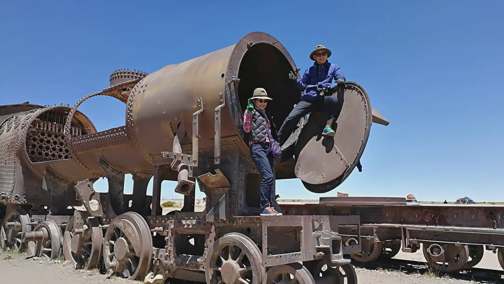
Cementerio de Trenes - Train Graveyard
The Train Graveyard opens a door to Uyuni's past when the mining industry collapsed, partly due to mineral depletion. Many trains were abandoned thereby producing the train cemetery - a peculiar tourist attraction very different from the beautiful landscapes of the area.
The first train line in Bolivia was Uyuni - Antofagasta and started to work in 1899. It was built by British engineers who arrived near the end of the 19th century and formed a sizable community in Uyuni. The rail construction started in 1888 and ended in 1892. It was encouraged by the then Boliv...
Siloli Desert
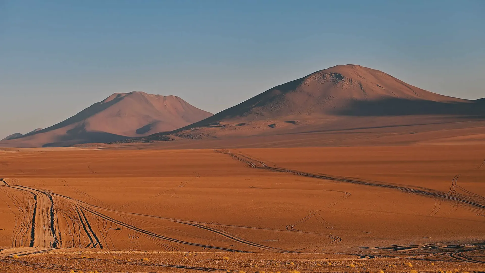
The Siloli Desert is located at the southeast of Potosi city. It's famous mainly for its rock formations like the Arbol de Piedra. It's part of the Atacama desert the driest in the world.
The Arbol de Piedra (Stone Tree) is a volcanic rock formation in the Desierto Siloli in Bolivia. The rock is unique because it resembles a tree. The Desierto Siloli is considered to be part of the Atacama Desert in neighboring Chile.
Tarapaya Lagoon
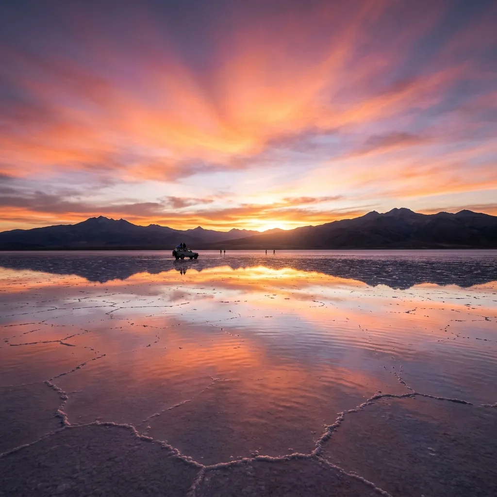
Known also as the Inca's Bath, the Tarapaya Lagoon is an extremely famous and constantly visited natural attraction. The lagoon is filled with thermal waters, which give origin to other spring water sites.
Known also as "The Inca's Bath", the Tarapaya Lagoon is an extremely famous and constantly visited natural attraction. The lagoon is filled with thermal waters, which give origin to other spring water sites. It has the shape of a perfect circle. The lagoon's water has been attributed several heal...
La Puerta del Diablo
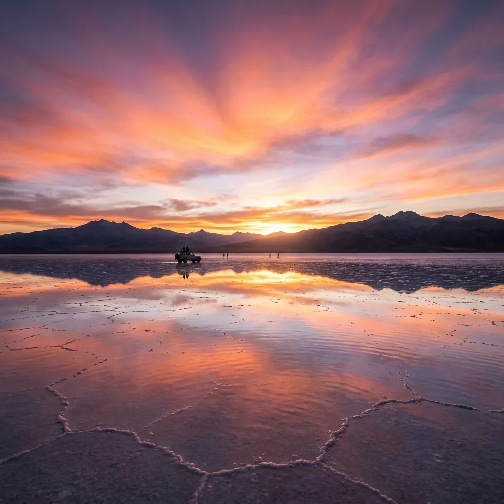
La Puerta del Diablo (Devil's Door) is located six kilometers from Potosi and presents an interesting geological structure made of red sand-stone, a construction that extends all the way to the entrance of the cave
La Puerta del Diablo (Devil's Door) is located six kilometers from Potosi and presents an interesting geological structure made of red sand-stone, a construction that extends all the way to the entrance of the cave. Although it is particularly difficult to enter into the cave itself, it is still ...
Casa Nacional de la Moneda
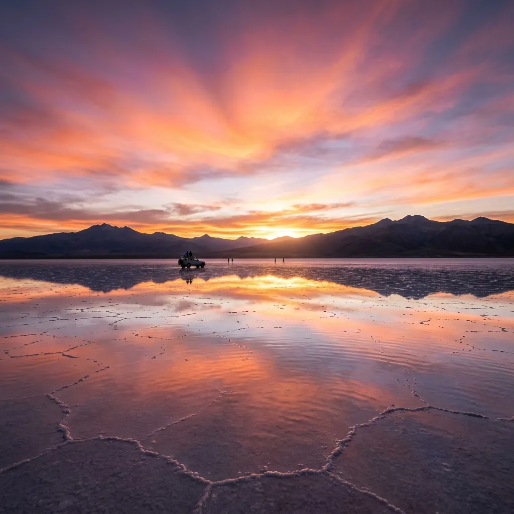
The Casa de la Moneda is a vast, elegant, and strikingly beautiful building that takes up a whole city block. In many specialists' opinion, it is the most important building among the colonial architecture of South America. Its construction began in 1750 and concluded in 1773. The works were in charge of the manufacturer and architect Salvador de Vila
The Casa de la Moneda is a vast, elegant, and strikingly beautiful building that takes up a whole city block.
Kari Kari Lagoon
In 1575, the viceroy Toledo ordered to build several artificial lagoons east of the city that would be useful to accumulate water during the rainy season, with the intention of using them in the dry periods. The artificial lagoons of Potosi are considered to be one of the main elements of the mining infrastructure.
In 1575, the viceroy Toledo ordered to build several artificial lagoons east of the city that would be useful to accumulate water during the rainy season, with the intention of using them in the dry periods. The artificial lagoons of Potosi known as the 'lagunas de Kari Kari' are considered to be...
Casa de las Tres Portadas
This construction is also known as 'Las Recogidas' (The Cloistered Ones). It used to be a community house for lay sisters, most of whom were Natives. This religious construction belongs to the Franciscan Order
his construction is also known as "Las Recogidas" (The Cloistered Ones). It used to be a community house for lay sisters, most of whom were Natives. This religious construction belongs to the Franciscan Order. It basically consists of three portals, all of which have very original designs. The Ca...
Lake Poopo
Lake Poopo is located at 65 kilometers from Oruro in Bolivia, on the route that leads to the neighboring department of Potosi. The biggest attraction is the island of Panza, an ideal place for hunting and fishing.
Lake Poopo is located at 65 kilometers from Oruro, on the route that leads to the neighboring department of Potosi. The biggest attraction is the island of Panza, an ideal place for hunting and fishing.
Silver Mines of Potosí
One of the main tourist attractions of Potosi in Bolivia is the Cerro Rico. From the depths of this amazing mountain, huge amounts of silver have been extracted since 1545.
"Cerro Rico de Potosi" (Rich Mountain - Silver mine of Potosi)
Colonial Cities
Sucre and Potosi are the best known colonial cities in Bolivia. Sucre, the White City, is the constitutional capital of the Republic of Bolivia. Potosi is, at around 4000 meter, the worlds highest city. The mines of the Cerro Rico are the richest mines in all of world history.
Sucre
Amazing Lagoons
Near the Salt Flats of Uyuni, Bolivia several spectacular lagoons amaze the visitors - Laguna Verde (Green Lagoon), Laguna Colorada (Red Lagoon), Laguna Blanca (White Lagoon), Laguna Hedionda (Stinking Lagoon), Laguna Canapa.
Laguna Verde (Green Lagoon)
Town of Uyuni
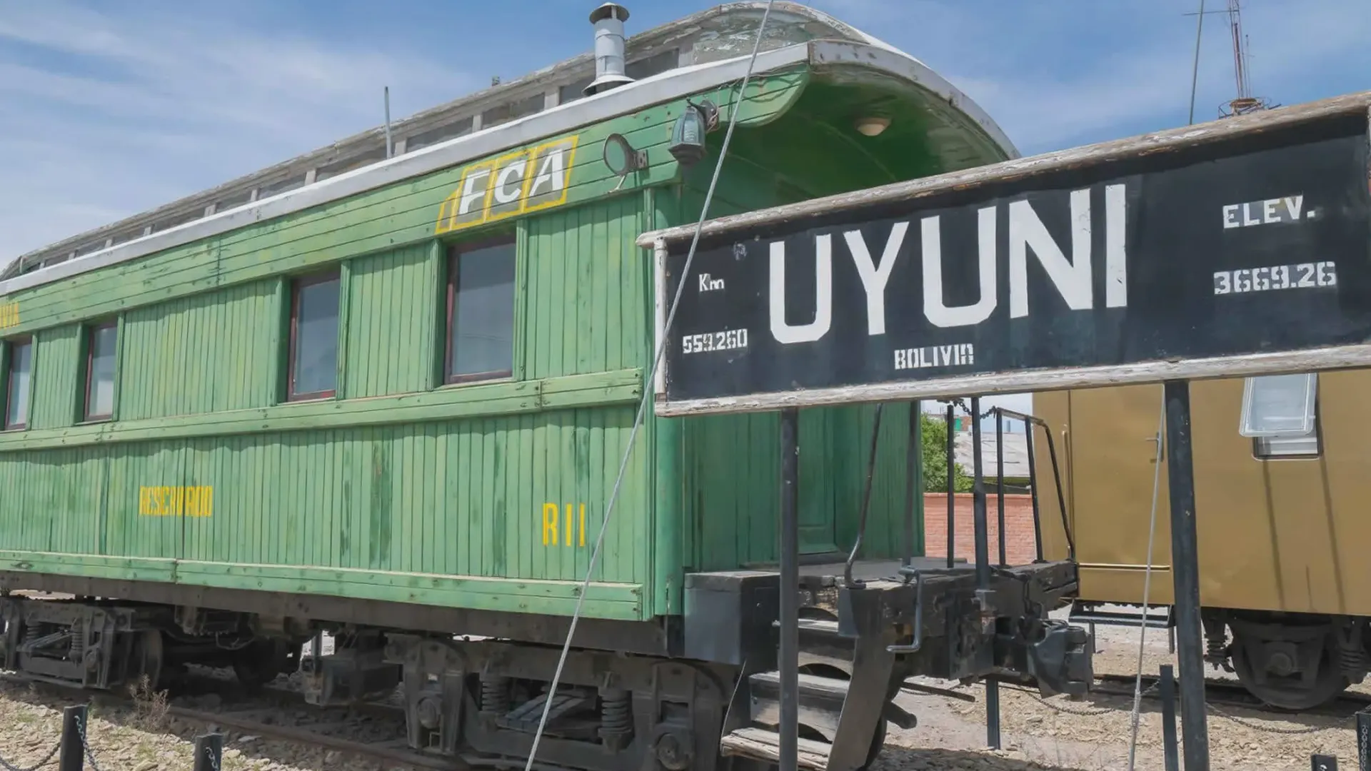
Uyuni in Bolivia is a small town situated in the middle of nowhere. Tourism is its main source of prosperityt hanks to the the world's biggest Salt Flats.
Uyuni town is located 241 Km far from Potosi city. The town was very important for being the distribution hub for the trains carrying mineral on their way to the Pacific Ocean ports. Currently Uyuni is also significant due to its proximity to the Magnificent Uyuni Salt Flat, a favourite Bolivian ...
Choose Your Potosí Experience
Choose the tour structure that matches your travel schedule and comfort level.
Day Excursion vs. Multi-Day Geological Expedition?
Whether stopping between Sucre and Uyuni or heading off-grid to Torotoro.
Potosí Imperial Day Tour
Ideal for colonial history and mine exploration on an overland journey.
- • Guided tour of Casa Nacional de la Moneda
- • Visit to the Miners' Market and Cerro Rico shafts
- • Colonial church towers and historic center walk
- • Convenient en-route stop between Sucre and Uyuni
Torotoro National Park Expedition
A rugged 3-day adventure into deep canyons and prehistoric caverns.
- • 3-Day/2-Night rugged 4x4 expedition
- • Caving inside Umajalanta and Vergel Canyon hike
- • Close-up exploration of dinosaur trackways
- • Stay at comfortable local eco-lodges
Cerro Rico Mine Tour
Miners' market, protective gear, El Tío shrine, and active galleries.
Casa de la Moneda Tour
Guided tour of coin minting halls, silver collections, and art.
Torotoro National Park
Dinosaur tracks, canyon hikes, caves, guide, and lodging.
Tarapaya Thermal Lagoon
Private transport and geothermal bath excursion to Ojo del Inca.
Practical Information
Entrance Fees & Costs
Casa de la Moneda (40 Bs), San Francisco Roofs (20 Bs), Torotoro Ticket (100 Bs).
Where to Stay
Restored colonial mansions near Plaza 10 de Noviembre with central heating.
Sucre & Uyuni Transit
Private 4x4 daily connections with door-to-door luggage handling.