Salar de Chiguana: 2027 Guide to Bolivia's High Salt Basin
Attraction

Salar de Chiguana: 2027 Guide to Bolivia's High Salt Basin

Explore Salar de Chiguana in southwest Bolivia. Plan your route past Ollagüe Volcano with practical transit and logistics.

Updated: October 8, 2026
On this page
SALAR DE CHIGUANA AT A GLANCE
Elevation: 3,650 m (11,975 ft)
Surface Area: ~415 sq km
Terrain: Borax crust, volcanic silt, active freight rails
Anchor Landmark: Volcán Ollagüe (5,868 m)
Key Route: Day 1-2 connector on the Southwest Altiplano Circuit
At a glance

Prepare for High Altitude: Drink coca tea, stay hydrated, and avoid heavy meals or alcohol.

Dress in Layers: Bring a warm jacket, windbreaker, hat and gloves.

Sun and Wind Protection: Pack strong sunscreen (SPF 50+), lip balm with SPF, and polarized sunglasses.

Keep Electronics Charged: Bring a high-capacity power bank and spare camera batteries (cold weather drains batteries fast).

VB

Verified by licensed Bolivian expedition directors and senior mountain guides.

Explore Salar de Chiguana in southwest Bolivia. First, plan your route past Ollagüe Volcano with practical elevation, transit, and private tour logistics.

What is Salar de Chiguana?

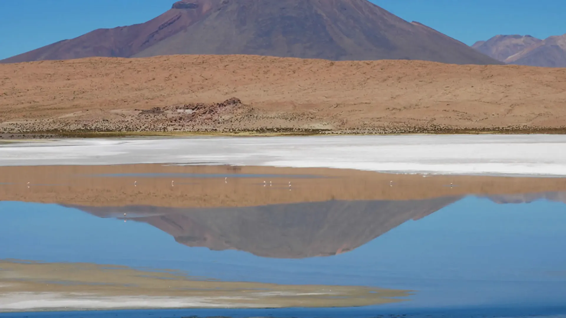
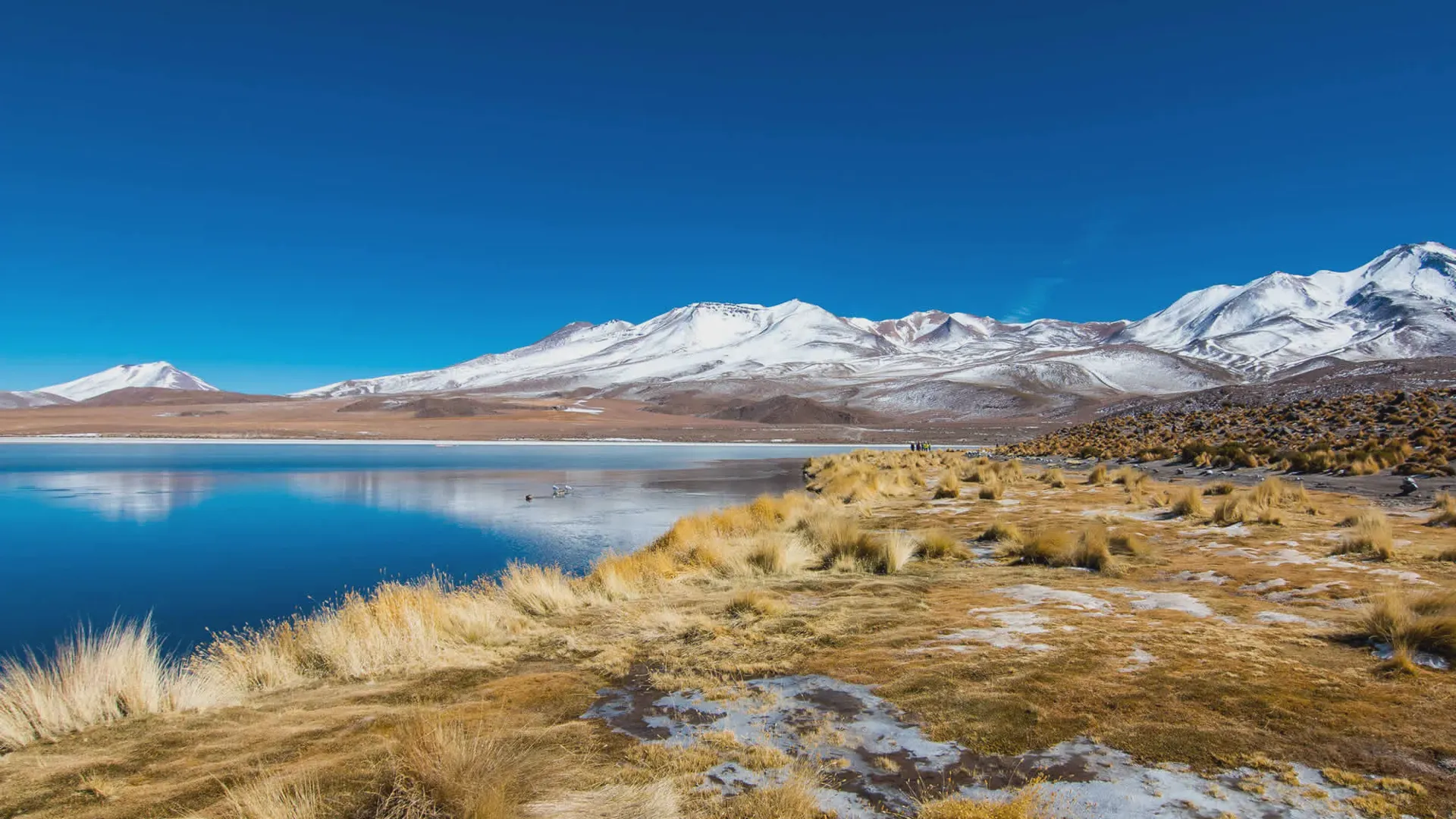
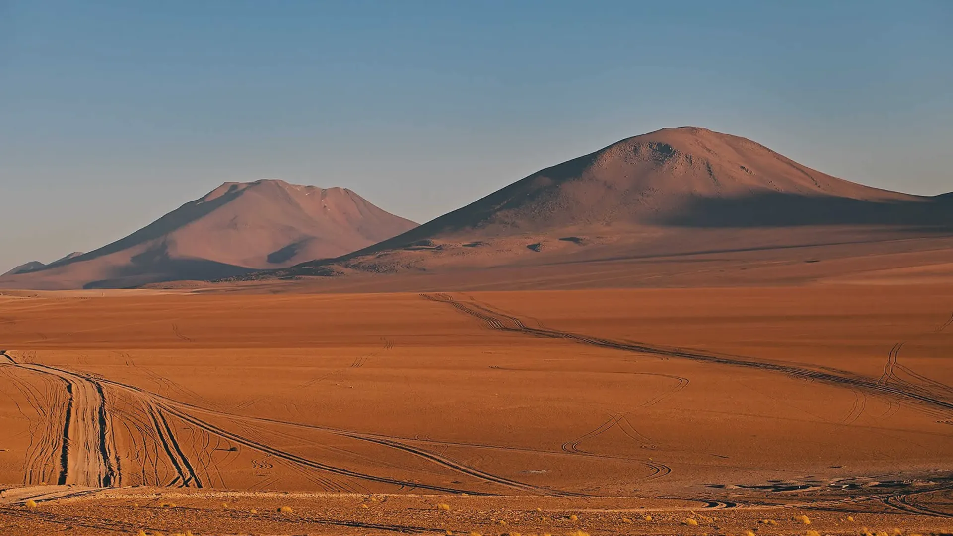
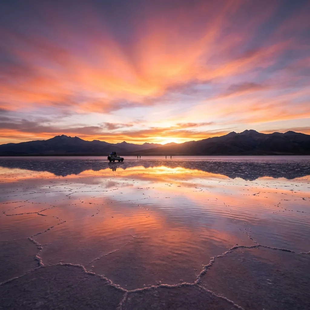
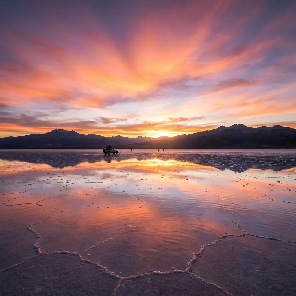
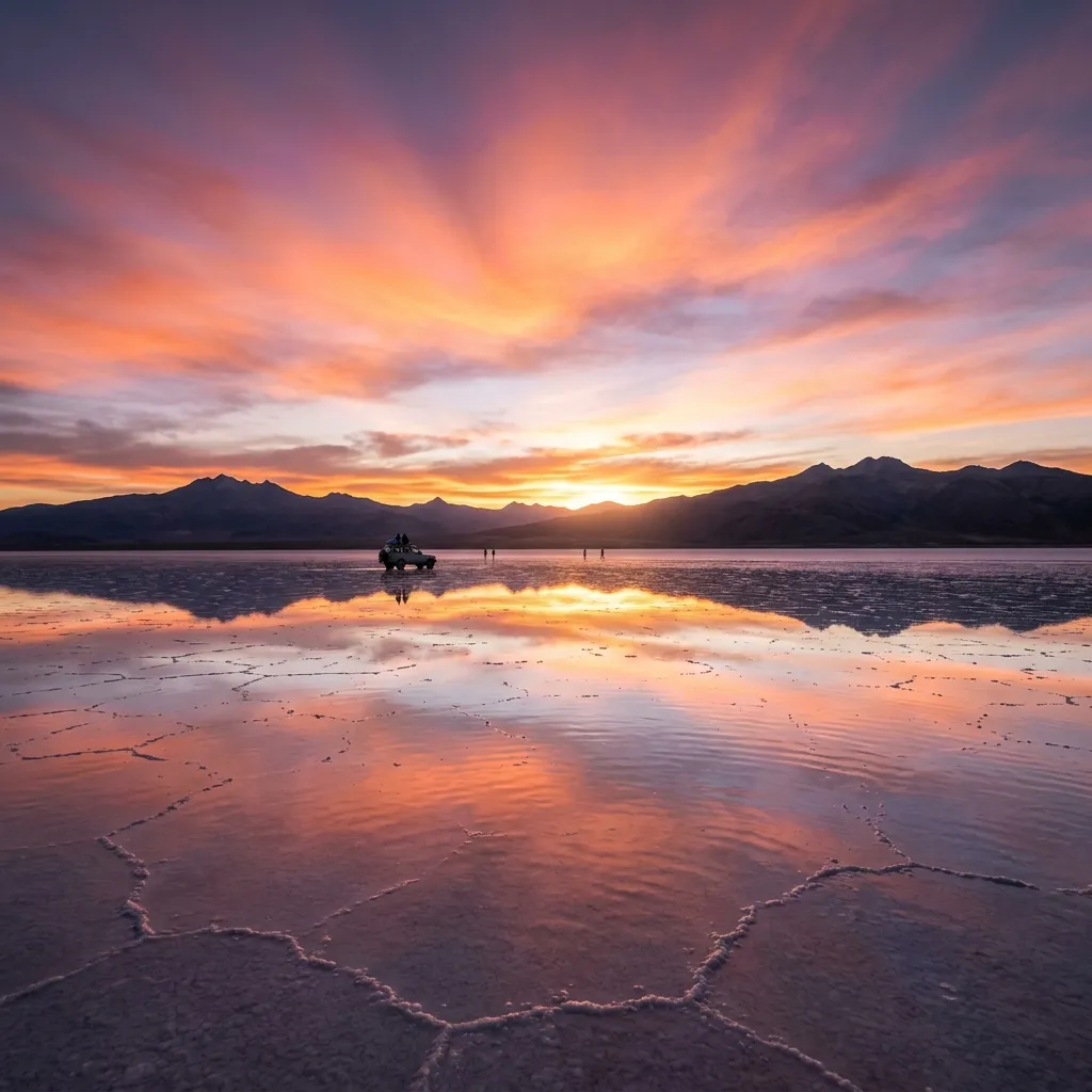
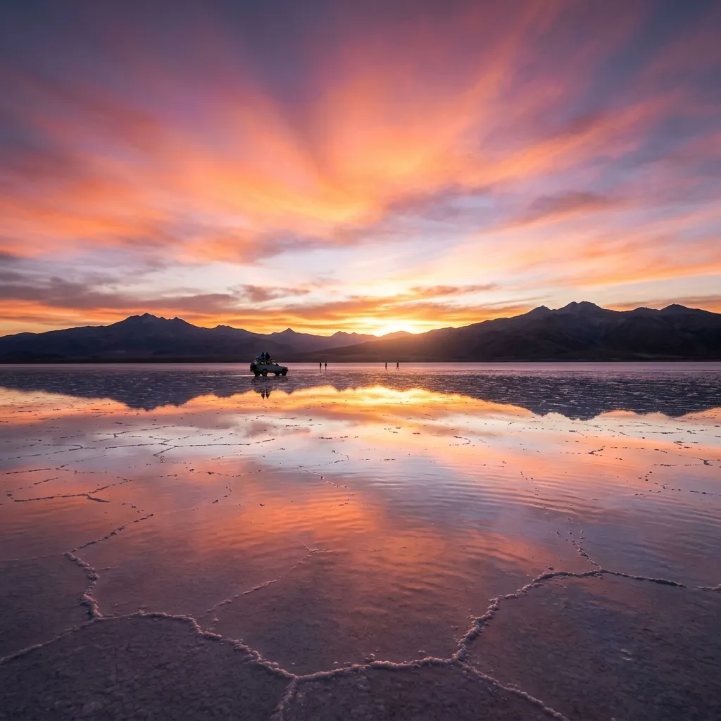
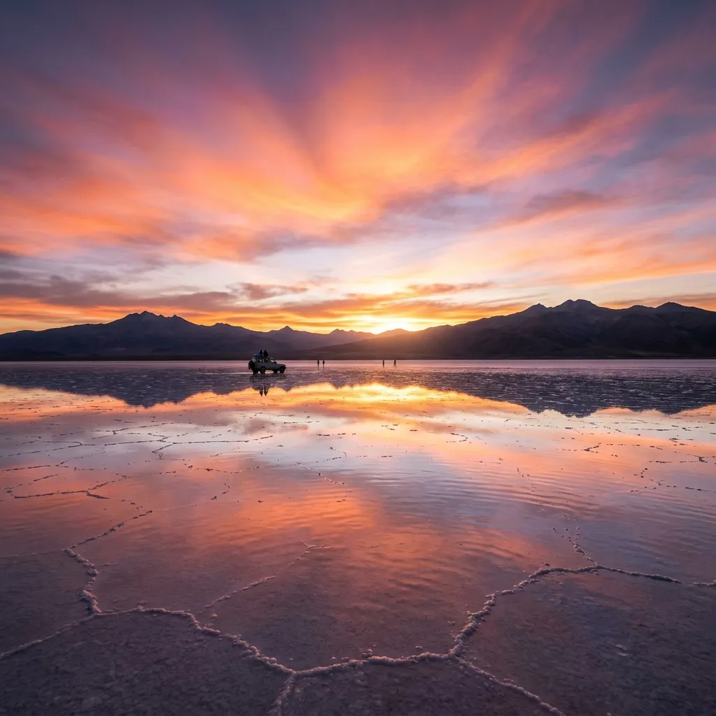
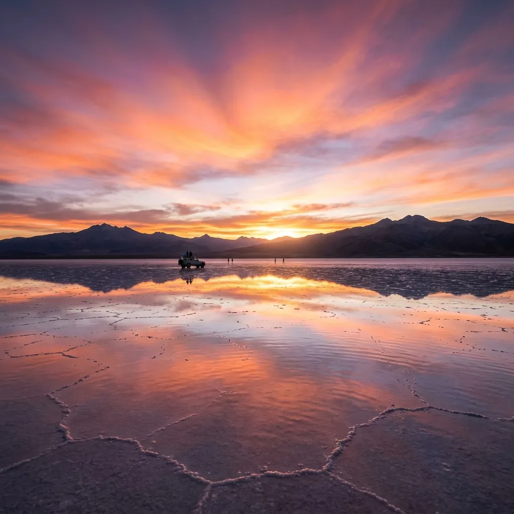
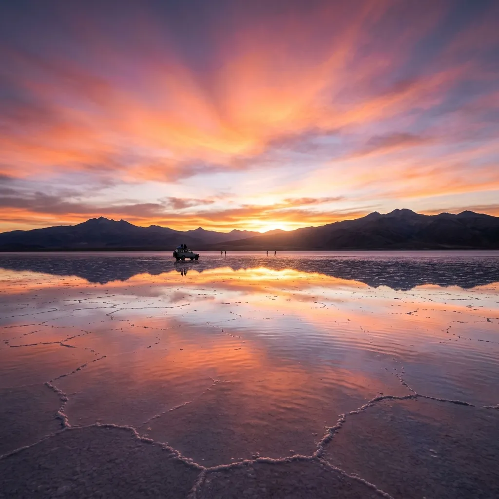
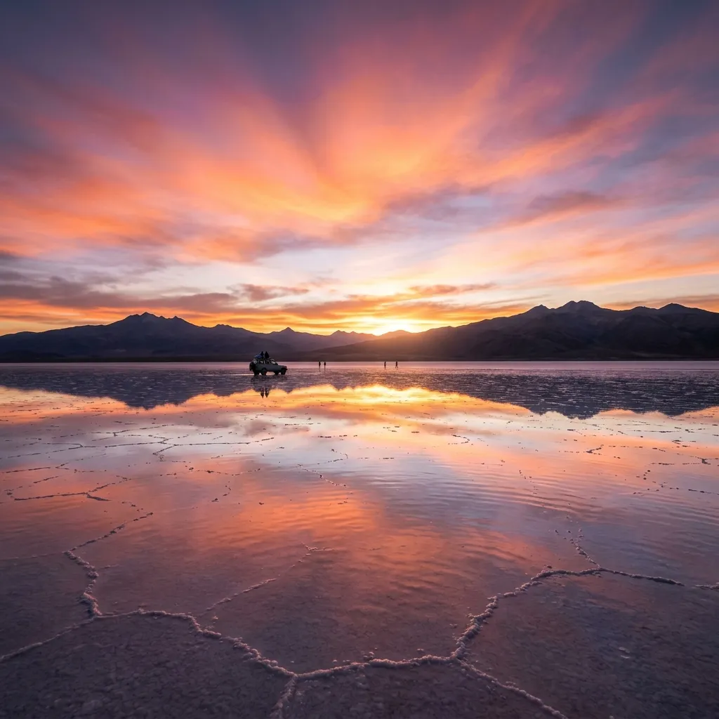
Salar de Chiguana is a high-altitude salt and borax basin. Specifically, Salar de Chiguana covers roughly 415 square kilometers in southwestern Bolivia. The basin sits at an elevation of 3,650 meters between Salar de Uyuni and the Eduardo Avaroa Reserve. In addition, Salar de Chiguana features a distinct brown and white mineral crust. Active train tracks cross the flat expanse, while the Ollagüe Volcano towers above it.

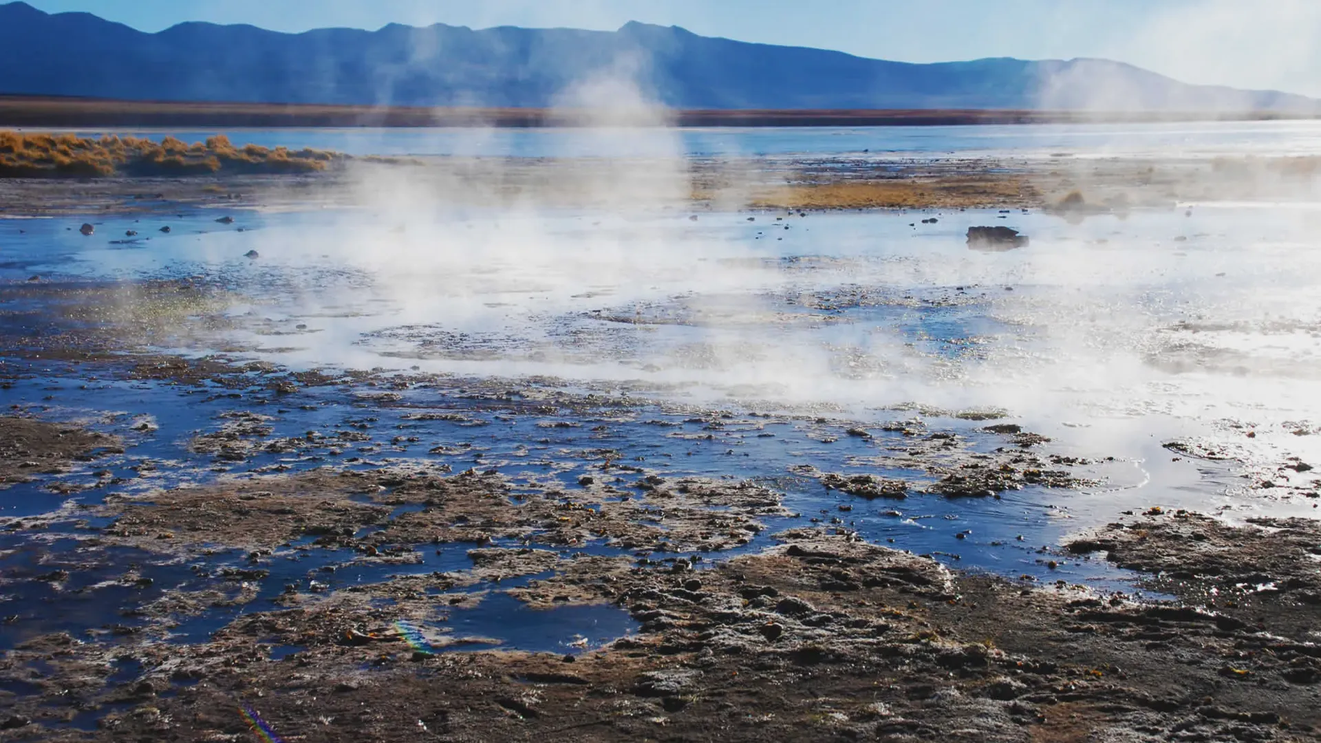
Travelers cross Salar de Chiguana during long trips toward the colored lagoons. However, ground conditions here differ sharply from Salar de Uyuni. Salar de Chiguana mixes table salt with volcanic ash, borates, and rough sand. Furthermore, strong winds whip across the flat basin floor constantly. Volcanic steam also drifts from the western skyline.

The Landscape: Rail Lines and Active Volcanism

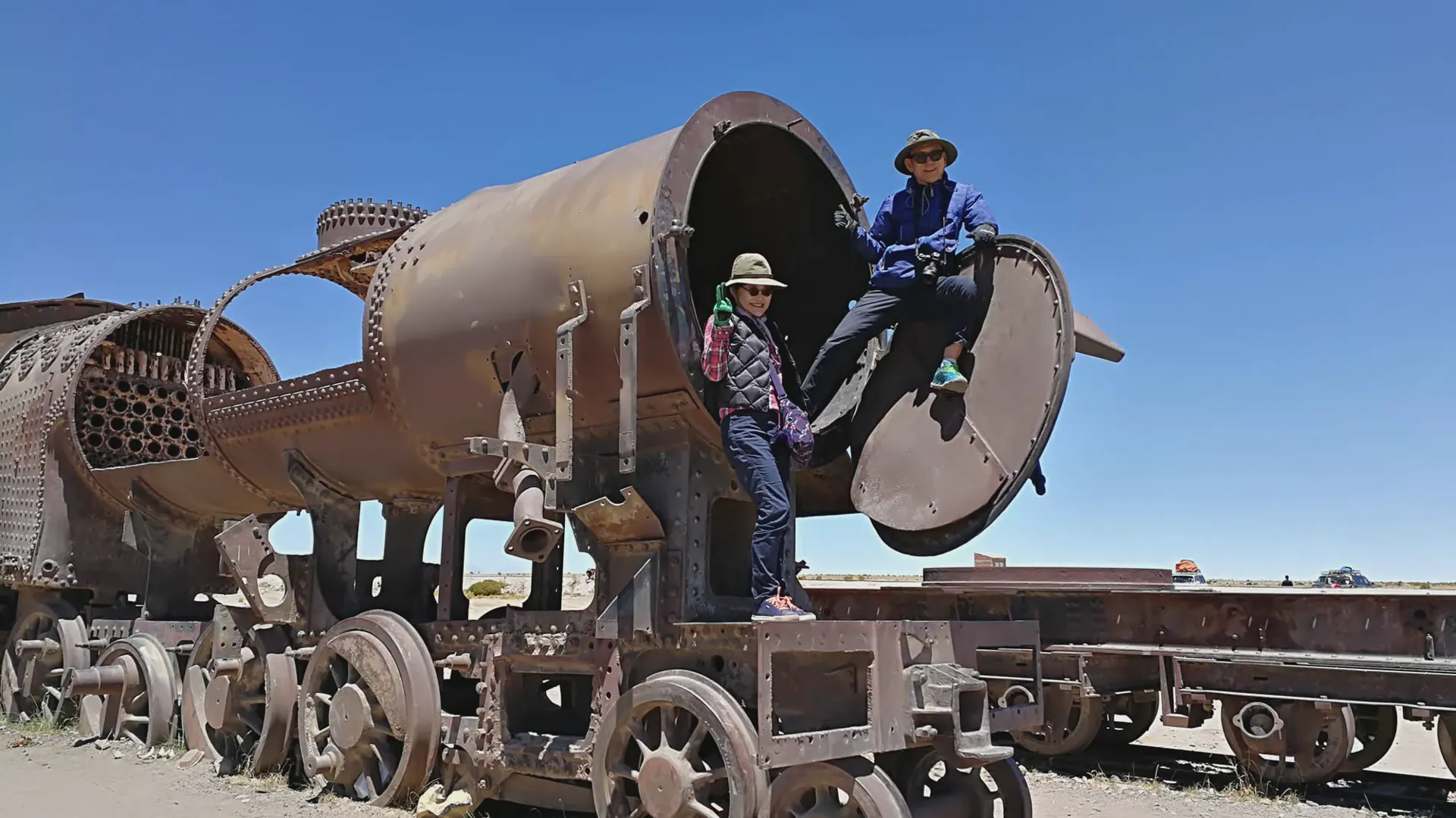
Active cargo trains still rumble through Salar de Chiguana. For instance, the railway connects Bolivian mines with Pacific ports in northern Chile. Steel tracks run straight across the crusted dirt.

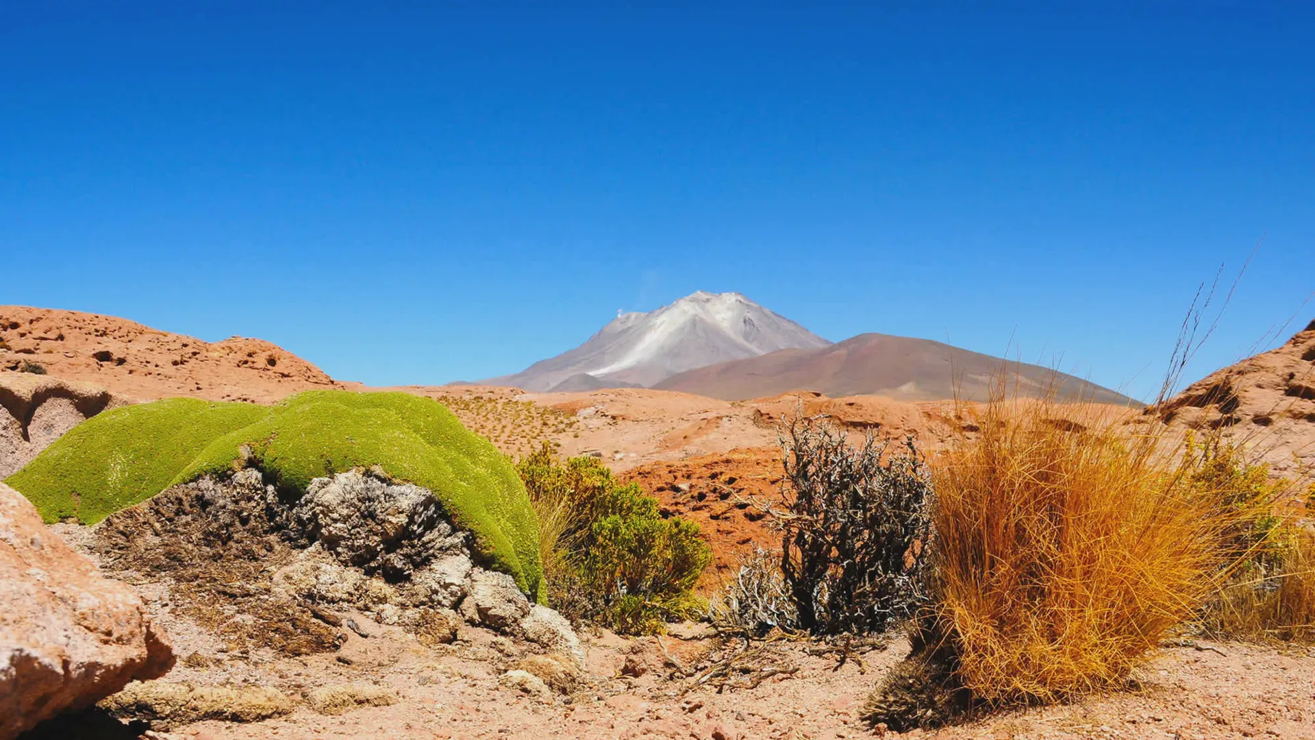
To the west, Volcán Ollagüe rises high at 5,868 meters. On clear mornings, you can see a steady sulfur plume venting from its side. Moreover, the mountain marks the border between Bolivia and Chile.

Farm animals cannot survive in this harsh place. Instead, low shrubs grow only on the rocky edges of Salar de Chiguana.

The military also runs an outpost on the eastern edge of Salar de Chiguana. Soldiers patrol the rail corridor to stop illegal border crossings and smuggling.

Salar de Uyuni vs. Salar de Chiguana

Many travelers expect every salt flat to look like the bright white crust of Uyuni. However, Salar de Chiguana offers a completely different landscape.

ParameterSalar de UyuniSalar de Chiguana
Surface Area10,582 km²~415 km²
Elevation3,656 m3,650 m
MineralsPure saltBoron, sulfur, and volcanic soil
AppearanceEndless white flatsBrown desert dirt and dark tracks
InfrastructureSalt hotels and visitor spotsMilitary post and cargo railway
Wet Season AccessHigh water layersThick mud; paths often close
RoleMain photo stopScenic transit route to the lagoons

The minerals in Salar de Chiguana hold real commercial value. Small mining teams gather borax from the dry beds. As a result, blowing dust can sting unprotected eyes and noses during windstorms.

Route Overview: Reaching Chiguana from Uyuni

Driving south from the main salt flats requires careful planning. For example, groups leave the salt hotels of Colchani and head south past San Cristóbal or San Pedro de Quemes.

Road Conditions and Navigation

Paved roads end early. Once your vehicle leaves Route 703, you must drive over bumpy gravel, soft sand, and hard crust.

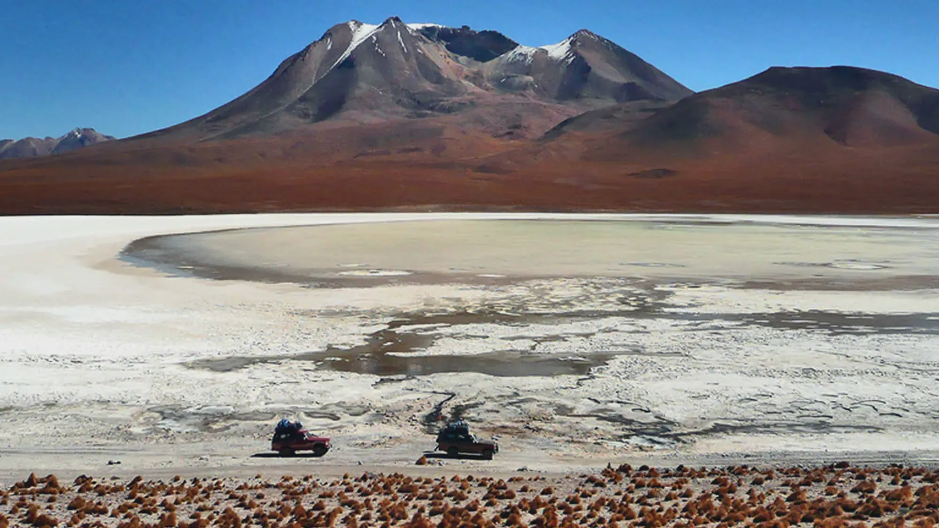
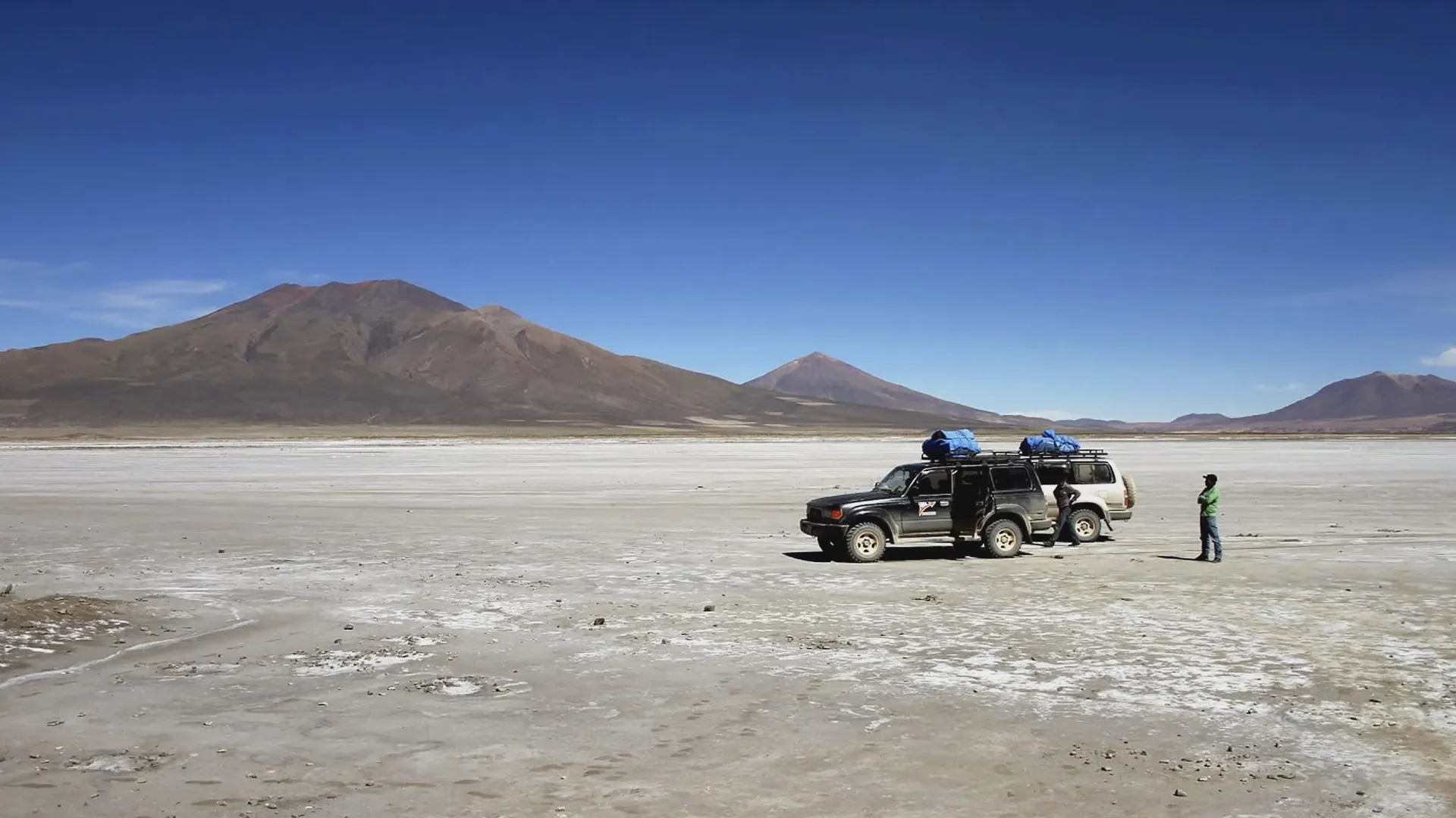
The trails across Salar de Chiguana are unpaved dirt paths worn down by four-wheel-drive trucks. When rain falls from January to March, runoff turns the flats into deep mud. Consequently, vehicles without proper traction get stuck fast.

During the dry months, wind erases tire tracks within hours. Therefore, GPS waypoints and strong route knowledge are vital. Solo driving across Salar de Chiguana brings high risk.
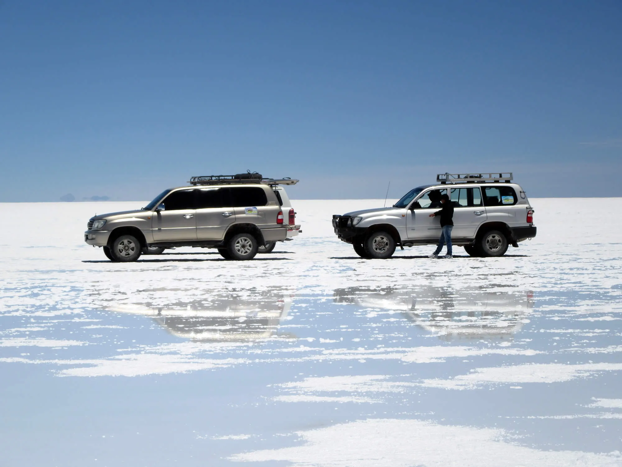
Toyota Land Cruisers with heavy-duty coil springs.

Equipment and Expedition Vehicle Standards

Budget tour operators often skip key maintenance. However, a broken axle in Salar de Chiguana leaves travelers stranded far from help.

Our expedition vehicles follow strict rules:

  1. Trucks: Toyota Land Cruisers with heavy-duty coil springs.
  2. Tires: Tough off-road tires run at lower pressure for sand.
  3. Recovery: High-lift jacks, sand tracks, tow straps, and two spare tires.
  4. Radios: Garmin satellite devices, because cell towers fail outside the towns.
  5. First Aid: Oxygen tanks and pulse monitors for high altitude.


Photo Protocol: Rail Tracks and Volcano Vistas

Photography at Salar de Chiguana focuses on raw documentary views. The mix of steel rails and ancient volcanoes creates striking images.

  • Morning (07:30 - 09:30): Good backlighting on Ollagüe's plume.
  • Midday (11:00 - 14:00): Harsh glare; therefore, use a lens filter.
  • Late Afternoon (16:00 - 17:30): Warm red tones across the mineral crust.

Keep these basic field rules in mind:

  1. Do not walk past military signs, since soldiers do not allow casual photos near the base.
  2. Listen closely for trains, because diesel engines run quietly across flat ground.
  3. Protect your lenses, as blowing salt dust can scratch bare glass.

Health, Altitude, and Field Realities

Salar de Chiguana sits at 3,650 meters. Yet, it serves as the starting point for climbs above 4,500 meters later in the day. Rushing this stage almost always causes altitude sickness before nightfall.

Acclimatization Steps

Spend at least two full nights sleeping at mid-altitude before driving south. Also, drink four liters of water each day. The dry air pulls moisture from your lungs quickly.

In addition, avoid alcohol before your departure. Eat plenty of carbs so your body has quick energy in thin air.

Temperature Swings

High-altitude sun can fool you. Inside the truck, the air may feel warm. However, stepping outside into the wind drops the temperature fast. Winter nights in nearby camps regularly drop to -15°C (5°F).

Therefore, pack warm base layers, a windproof coat, and dark sunglasses to block UV rays from the salt crust.

Continuing the Journey: The Southern Circuit

Salar de Chiguana marks the turning point of the high Altiplano crossing. After leaving the rail line, the route climbs straight into the Siloli Desert.

Next, our trips head toward the high Andean sights:

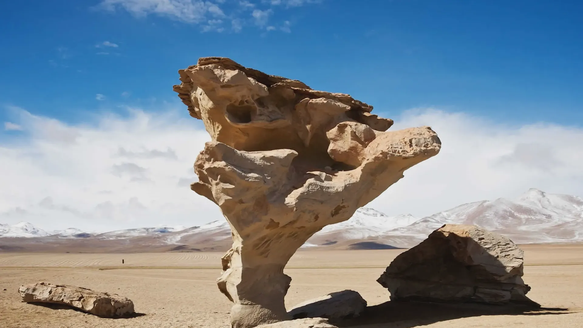
  • Árbol de Piedra: Stone shapes carved by wind and ash.
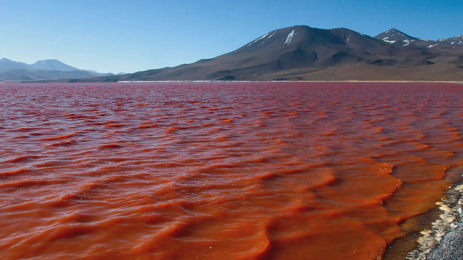
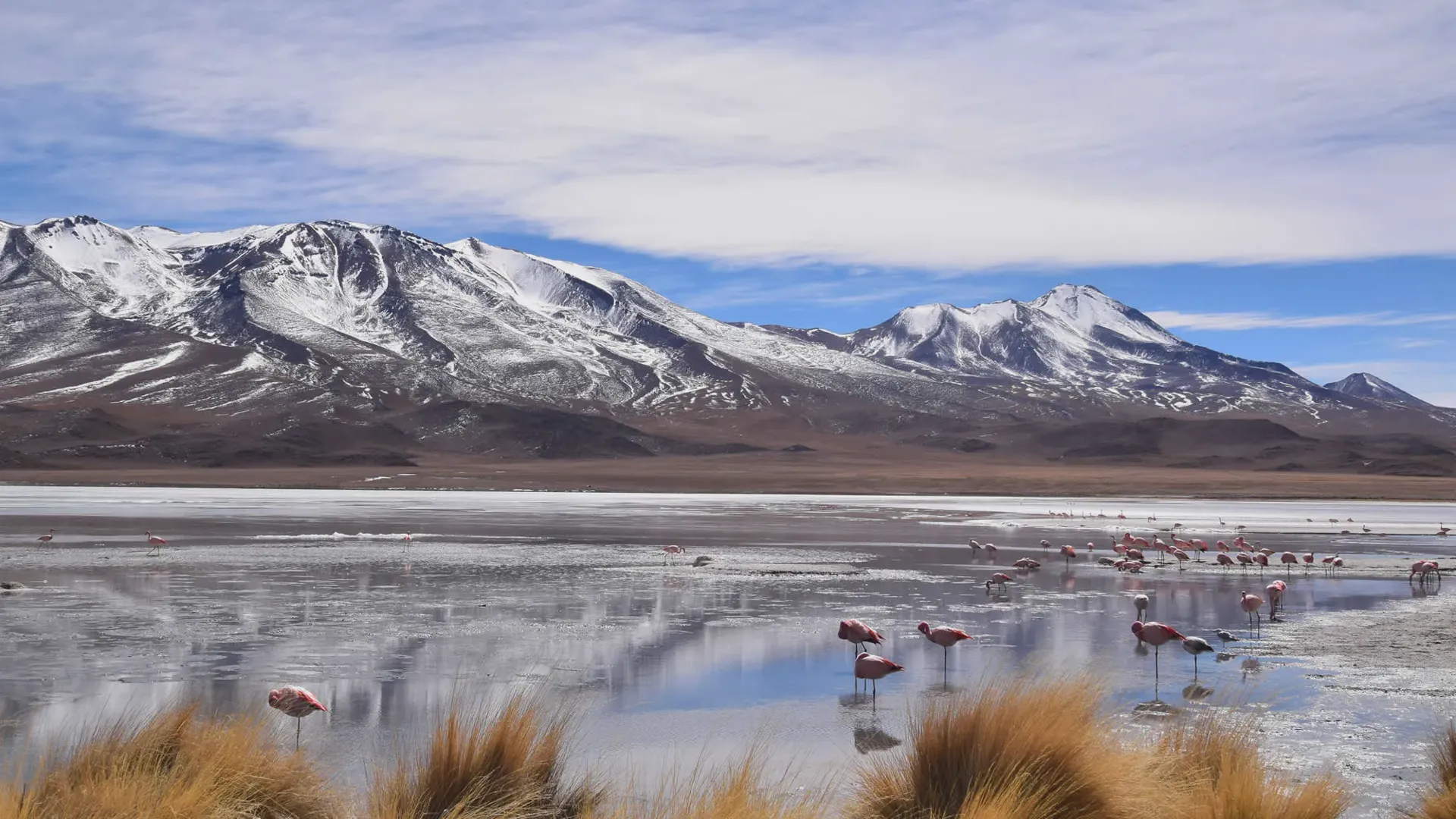
  • Laguna Colorada: A bright red lake filled with thousands of flamingos.
  • Sol de Mañana: Boiling mud pits and steam vents at 4,850 meters.
  • Termas de Polques: Natural hot springs on the edge of Salar de Chalviri.

Book our private tour of Uyuni salt flat and colored lagoons to cross Salar de Chiguana safely with skilled altiplano drivers. We handle all fuel, permits, and transit logistics.
Tours Including This Destination

View All Tours →
San Pedro de Atacama to Uyuni Shared Tour
3 Days
Potosi
Featured
Potosi

San Pedro de Atacama to Uyuni Shared Tour

An attractive budget option for visiting the best attractions of the Uyuni area and the Eduardo Avaroa Reserve starting from San Pedro de Atacama.

San Pedro de Atacama - Uyuni - Calama Private Tour
3 Days
Potosi
Potosi

San Pedro de Atacama - Uyuni - Calama Private Tour

Take an exciting excursion into Bolivia from Chile and discover the wonders of the Uyuni Salt Flat and the Eduardo Avaroa Reserve!

Frequently Asked Questions

How many days do you need in Uyuni?

The honest answer is 3 days for most travellers. One day gives you the salt flat — the hexagons, Isla Incahuasi, and a sunset. Three days gives you the entire region: the salt flat on Day 1, then the Eduardo Avaroa National Reserve on Days 2 and 3 — Laguna Colorada, Sol de Mañana geysers, flamingos, and the chain of coloured lagoons that most people describe as the highlight of their Bolivia trip. If you genuinely only have one day, go — but know what you're choosing to skip.

What is the best month to visit Uyuni?

October is the best single month for most travellers. It is dry, warm enough at night to be comfortable, uncrowded compared to the June–August peak, and the daytime light is excellent for photography. If seeing the mirror effect is your priority, February offers the highest probability — but with more rain, crowds, and potential access restrictions.

Can you see the mirror effect in April?

Sometimes, yes. April is a transition month. In years with heavy rainfall, mirror conditions persist into early April. In drier years, the surface begins drying in late March. A knowledgeable local guide will know where remaining water pockets are. Late April is often recommended by Uyuni-based operators as a sweet-spot month — possible mirror, warmer nights, fewer tourists, and lower prices.

How cold does it get in Uyuni area?

During dry season nights in June, July, and August, temperatures regularly fall below -10°C and can reach -15°C on the open salt flat. Daytime is warmer — typically 13°C to 17°C in winter. From October through April, nights are significantly more manageable, rarely dropping below -5°C.

Is Uyuni worth visiting in July?

Yes, but go prepared. July is peak tourist season — book everything well in advance. The cold is serious and should not be underestimated. The trade-off is dry, clear skies and the best stargazing conditions of the year. If cold weather doesn't bother you and you've booked ahead, July is a spectacular month to visit

Where can I see flamingos in the Uyuni Salt Flat?

The flamingos are not on the Salar de Uyuni itself — they gather at Laguna Colorada in the Eduardo Avaroa National Reserve, approximately 4 hours south of Uyuni. Around 25,000 flamingos of three species (Chilean, Andean, and James) congregate there between November and March for breeding season. This reserve is visited on the standard 3-day Uyuni southwest circuit tour.

Can tours run year-round at the Uyuni Salt Flat and the Uyuni area?

Yes, with some limitations. Dry season tours operate across the full flat with no restrictions. Wet season tours adapt routes to water levels — some areas like Isla Incahuasi may be temporarily inaccessible after heavy rain. The Eduardo Avaroa Reserve southwest circuit occasionally closes during peak rainfall. Reputable operators monitor conditions daily and adapt accordingly.

Can you visit Incahuasi Island during the rainy season?

Generally no. When the salt crust dissolves into soft, muddy brine, heavy 4x4s risk sinking. Island access is typically restricted by park authorities between mid-January and late March.

Nearby Places & Attractions

Salvador Dalí desert
Attraction

Salvador Dalí desert

Salvador Dalí Desert (Desierto Salvador Dalí), also known as Dalí Valley (Valle de Dalí), is an extremely barren valley of southwestern Bolivia, in the Potosí Department.

Red Lagoon
Attraction

Red Lagoon

The Red lagoon (Laguna Colorada) is a shallow lake within the Eduardo Avaroa Andean Fauna National Reserve and close to the border with Chile. The lake is famous for its strong red colour caused by algae that provide food for large flocks of pink flamingos.

Green Lagoon
Attraction

Green Lagoon

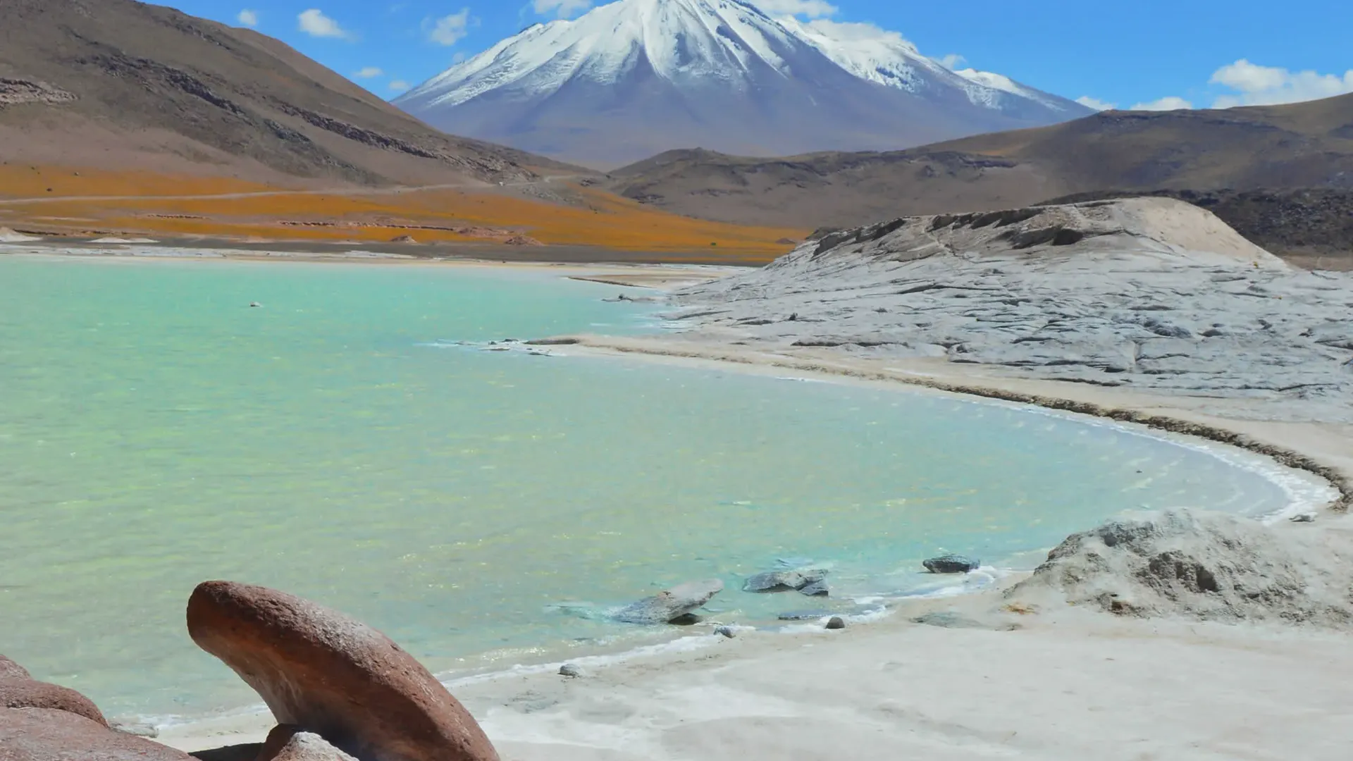
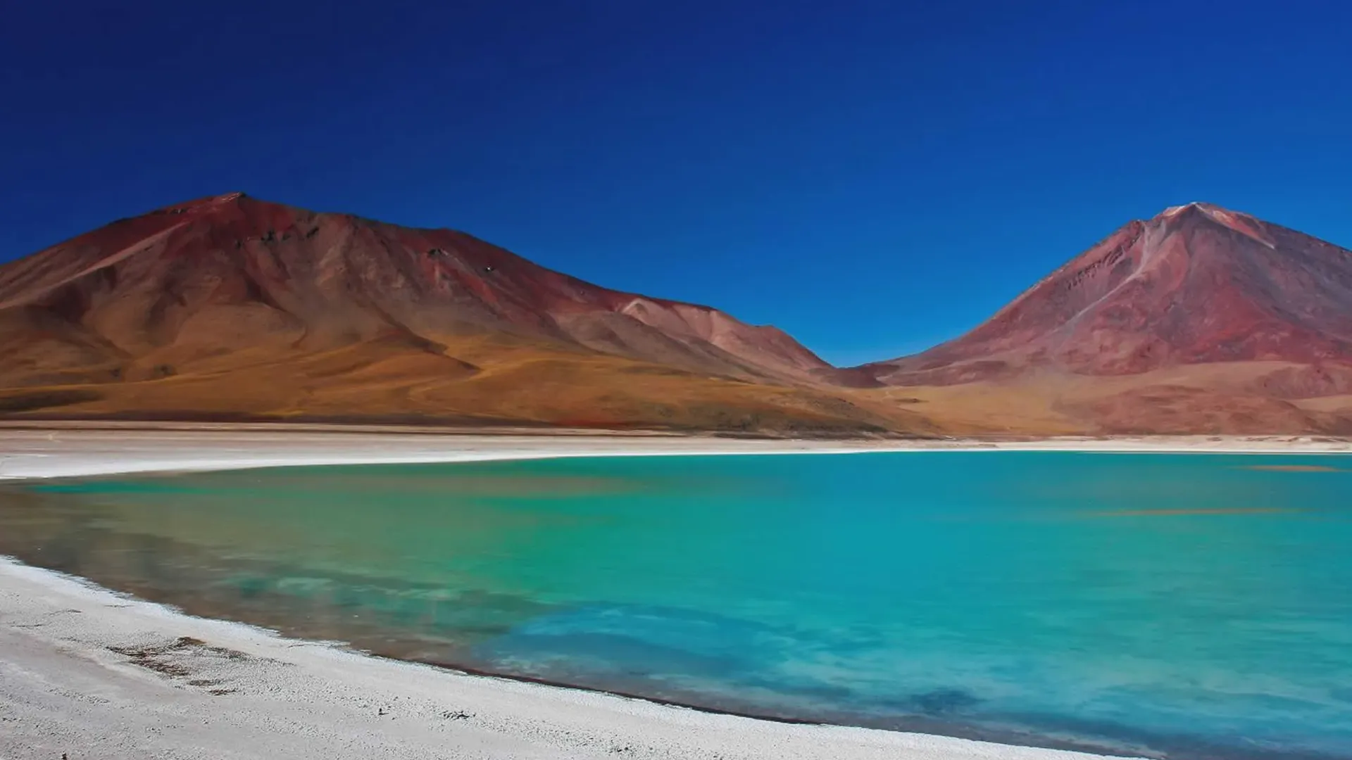
Green lagoon (Laguna Verde) is a high-altitude mineral lake in the Eduardo Avaroa Reserve, known for its beautiful green color. It sits at the foot of 2 volcanoes, Licancabur and Juriques, which straddle the border with Chile and are reflected in the water when the weather is calm.

Rock Tree
Attraction

Rock Tree

The Rock Tree (Árbol de Piedra) is a tree-like rock formation in the Siloli Desert desert that offers great photo opportunities!

Andean Fauna
Attraction

Andean Fauna

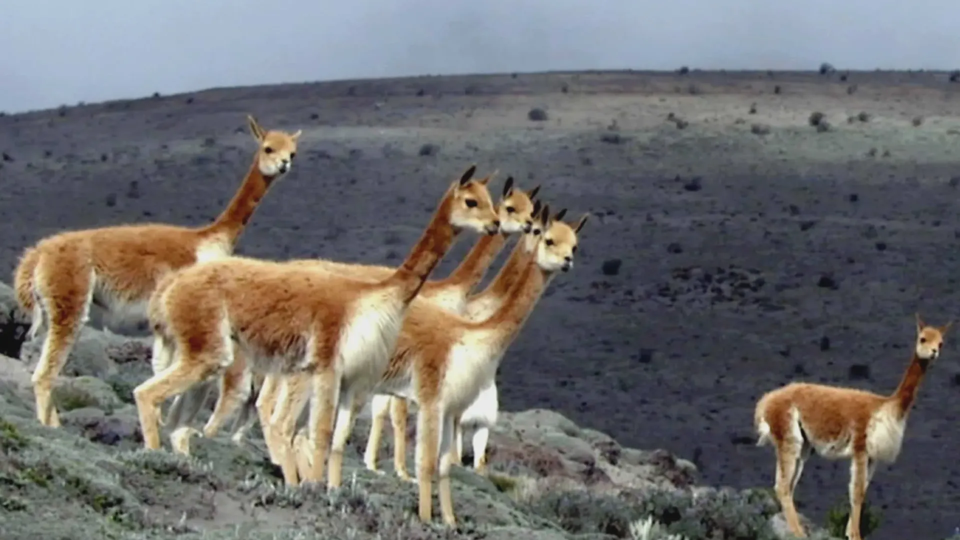
The Andean fauna populating the surroundings of the Uyuni Salt Flat and the amazing lagoons is diverse and rich. During the most popular tours to the Eduardo Avaroa National Reserve it is possible to observe these species in their natural habitat and be amazed by nature.

Honda Lagoon
Attraction

Honda Lagoon

The Honda Lagoon is located inside Eduardo Avaroa Natural Reserve

Ready to visit Salar de Chiguana: 2027 Guide to Bolivia's High Salt Basin?

We can help you organize the perfect trip to this incredible destination.