From the Bolivia Travel Site Field Operations Desk
Operating private 4x4 overland logistics, airport transfers, and bespoke Altiplano expeditions since 2010.
Safety Protocol: We track daily road and weather reports directly with park rangers at Laguna Colorada and local highway transit police. During extreme winter storms or summer flash floods, our dispatch team adapts routes in real time. We never compromise vehicle safety or passenger comfort for the sake of checking off a flooded landmark.
Updated: September 2026
Why Nights Drop Below Freezing (Even in the Middle of Summer)
It's a question we hear almost every day: "How can it be freezing at night when it's 21°C during the day?"
The answer comes down to two things.
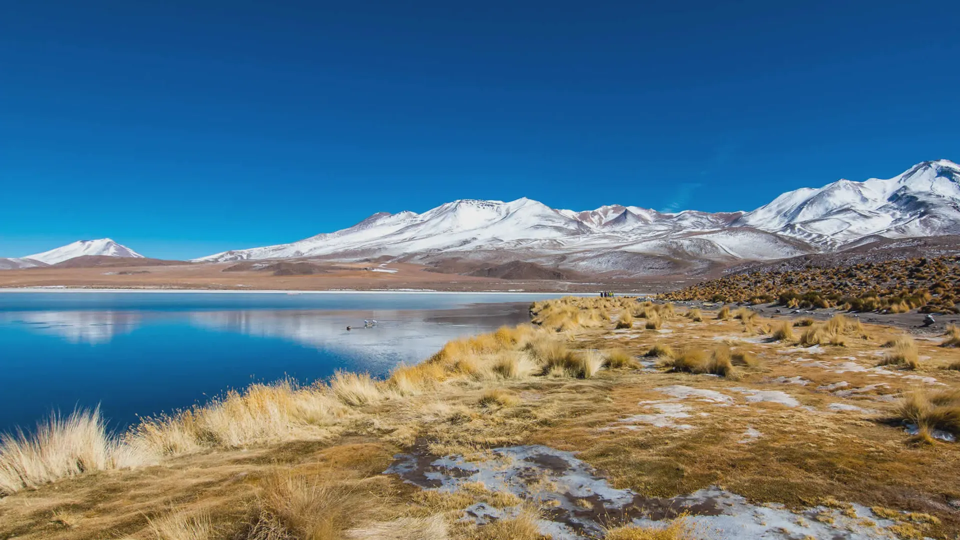
First, the altitude. Uyuni town sits at over 3,600 meters. At this height, the air is thin and can't hold heat. The sun warms the ground during the day, but the moment it dips below the horizon, all that warmth escapes into space. The southern circuit climbs to nearly 5,000 meters, where nighttime lows can hit -20°C.
Second, the dry air. The Altiplano is a desert. With no clouds to trap heat, the ground cools incredibly fast. Even in January, the "summer" month, you can expect temperatures to drop to freezing by midnight.
Even in January and February—the peak of the Andean summer—temperatures near the southern lagoons and mountain lodges routinely hit 0°C to -3°C (32°F to 27°F) by midnight. In winter, that plunge regularly reaches -15°C to -20°C (5°F to -4°F).
At a Glance: Which Season is Right for You?
| Dry Season (May–Nov) | Wet Season (Dec–Apr) | |
|---|---|---|
| The Vibe | Clear skies, brilliant white salt, frozen nights. | The famous mirror effect, warmer days, dramatic skies. |
| Access | Full access to Incahuasi Island and all routes. | Incahuasi closed (Jan–Mar). Some northern routes limited. |
| Key Risk | Extreme cold, potential snow in August. | Flooding, route reroutes. |
| Best For | Stargazing, classic landscapes, reliable logistics. | Photography, seeing the sky reflected at your feet. |
The Rainy Season (December to March): Water, Reflections, and Real Route Limits
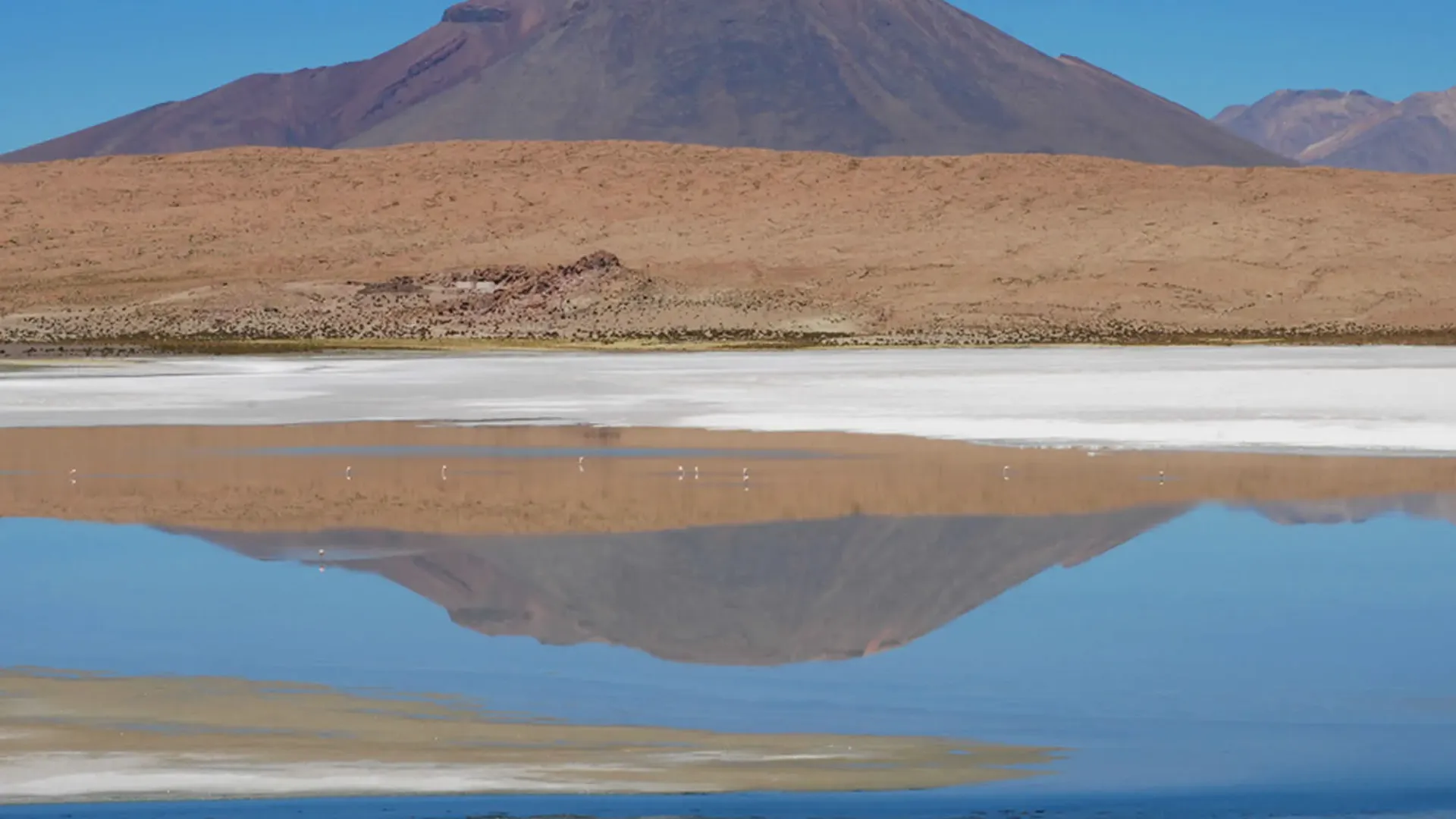
When rainfall drains from the surrounding mountains onto the impermeable salt basin, the Salar becomes the famous giant sky mirror. It is one of the most striking visual spectacles on Earth, but water changes how vehicles move:
- Incahuasi Island Closes: When water levels rise between 5 and 25 cm, the underlying salt softens into thick, corrosive brine. Driving heavy 4x4s into the interior creates a severe risk of sinking into muddy salt trenches. Park rangers and local tour cooperatives close the tracks out to Incahuasi Island and Isla del Pescado to protect travelers and vehicles.
- Northern Flats Access: Direct driving routes to the northern edge of the Salar (including villages near the base of Mount Tunupa like Coquesa and Tahua) are often cut off or require long, bumpy detours around the perimeter dirt roads rather than driving straight across the crust.
- What You Get Instead: Expeditions stick to safe entry corridors (usually near Colchani) where the water is shallow, still, and safe. You get world-class mirror photos and vibrant sunset reflections, paired with flamingo watching at the southern lagoons.
August: The Month That Can Disrupt Everything
We have to be honest about August. It's a beautiful month—clear skies, incredible stargazing—but it's also the month when the Altiplano can throw a curveball.
- Your flight could be delayed or canceled. Heavy snow can make the runway at Joya Andina Airport dangerously icy. We recommend tracking NAABOL's official updates if you're flying in.
- The border crossing to Chile might close. The Hito Cajón pass is at over 4,500 meters. A surazo (cold front) can dump enough snow to shut the road for a day or two.
- The road from Potosí can get blocked. We've seen buses and trucks stranded at Pulacayo after heavy snow.
- Hito Cajón Border Closures: Winter cold fronts (surazos) can dump heavy, unexpected snow over the high mountain passes above 4,500 meters. When this occurs, Chilean and Bolivian border authorities shut down the Hito Cajón border crossing (the main transit point between Uyuni and San Pedro de Atacama). The entire Eduardo Avaroa National Reserve can temporarily close for 24 to 72 hours until graders clear snowdrifts.
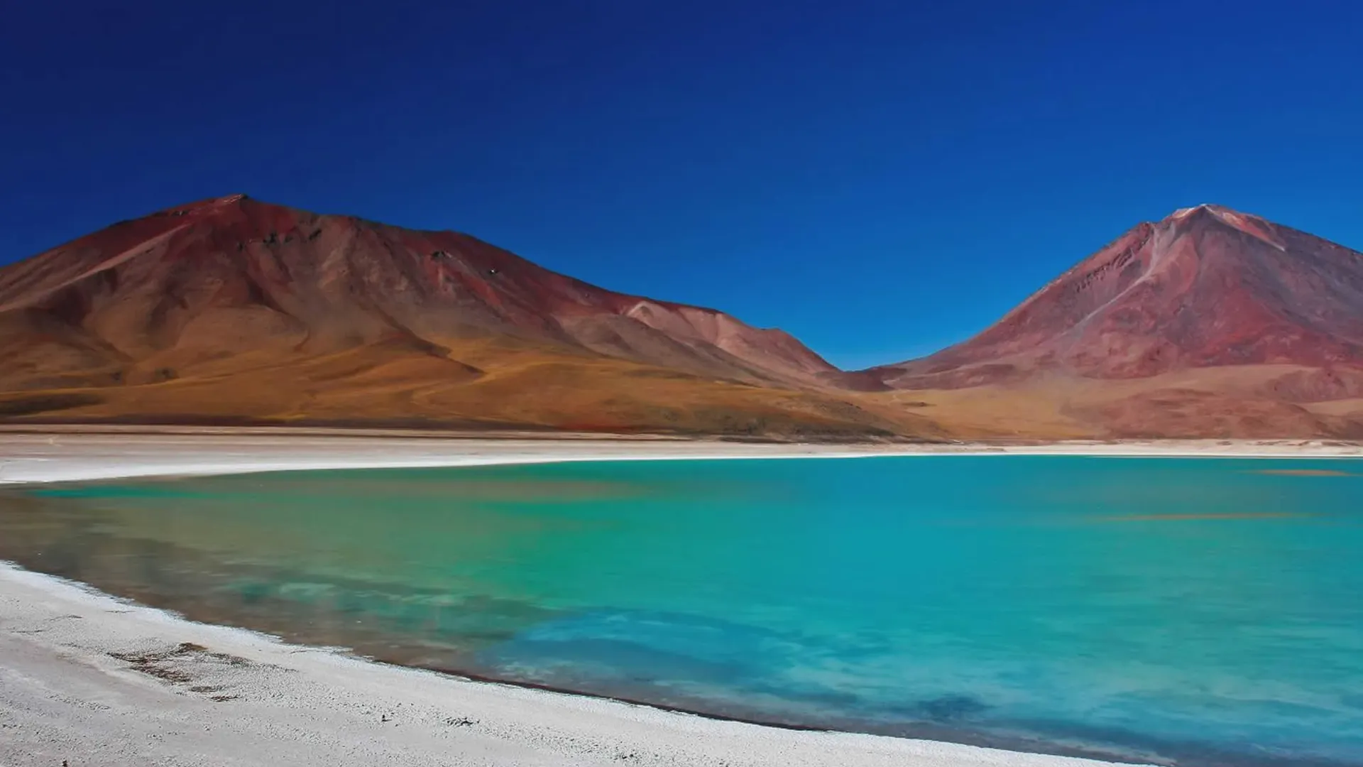
- Itinerary Diverts: If the southern desert passes are blocked by snow or black ice, experienced operators immediately redirect itineraries: skipping the remote Laguna Verde and high mountain geysers to keep travelers safe at lower elevations, or rerouting Chile transfers through the lower Ollagüe border post.
- Snow on Mountain Roads to Uyuni: The paved overland highway connecting Potosí or Oruro to Uyuni climbs over high Andean passes. Heavy August snowfall can temporarily halt intercity bus lines and private highway transfers until regional road crews clear the snow.
Dry Season: May–November
What the Weather Looks Like
| Month | Avg Daytime | High Avg Nighttime Low | Notes |
|---|---|---|---|
| May | 17°C | -7°C | Transition month, cooling |
| June | 13°C | -13°C | Coldest month; exceptional stargazing |
| July | 14°C | -11°C | Peak tourist month; book ahead |
| August | 14°C | -12°C | Extreme cold possible; airport disruptions |
| September | 15°C | -10°C | Warming slightly; clear skies |
| October | 16°C | -8°C | Sweet spot month—warm, dry, uncrowded |
| November | 18°C | -3°C | Rains begin toward month end |
Best For:
- Hexagonal salt polygon photography
- Stargazing—the Milky Way is bright enough to cast shadows
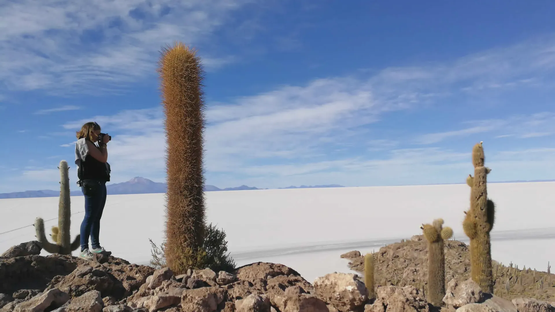
- Full access to Isla Incahuasi and the Eduardo Avaroa Reserve
- Reliable road conditions and flight schedules
Practical Advice for Winter Travel
So, what should you do? First, don't panic. These events are usually short-lived. But you can plan for them:
- If you're flying into Uyuni in August, try to build a buffer day into your itinerary. If your flight is delayed, it won't ruin your tour.
- If you're crossing to Chile, check the border status with your operator the day before. They will have the latest intel and may suggest a different crossing.
- If the road from Potosí is blocked, contact your hotel in Uyuni. They can advise on when the road is expected to reopen.
Being prepared, not alarmed, is the key to a successful winter trip.
Wet Season: December–April
What the Weather Looks Like
| Month | Avg Daytime High | Avg Nighttime Low | Notes |
|---|---|---|---|
| December | 20°C | -1°C | Rains begin; holiday crowds |
| January | 21°C | 0°C | Peak wet season; best mirror effect |
| February | 21°C | 1°C | Mirror peak; Incahuasi closed; flamingos arrive |
| March | 20°C | -1°C | Still wet; crowds drop off |
| April | 19°C | -7°C | Transition; drier; sweet spot month |
Best For:
- The mirror effect—thin water layers turn the salt flat into a perfect sky reflection
- Warmer days—15°C to 21°C, the warmest of the year
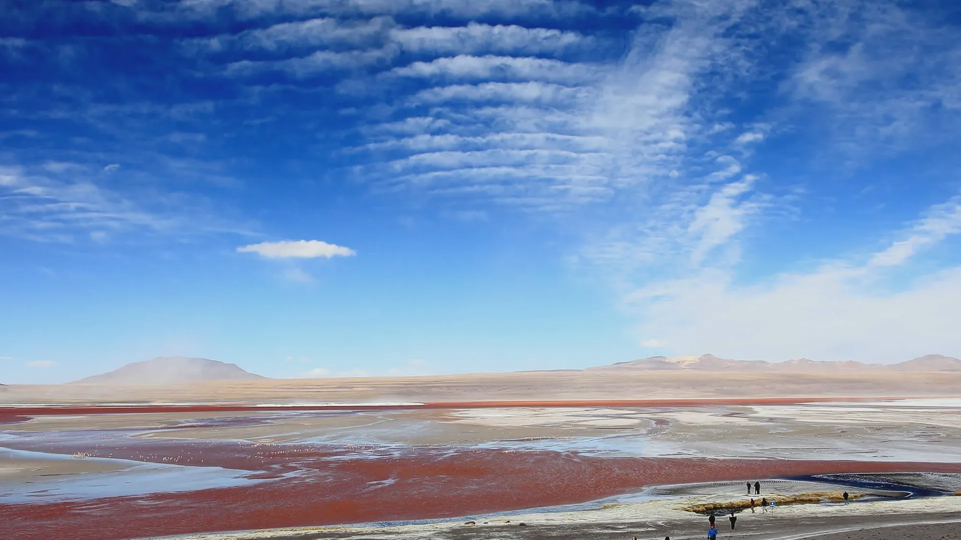
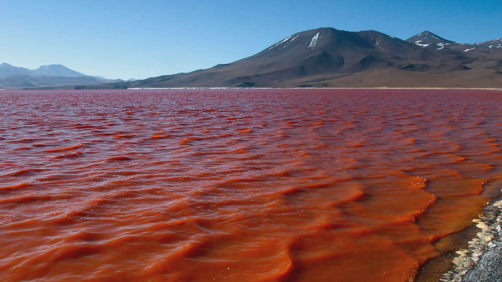
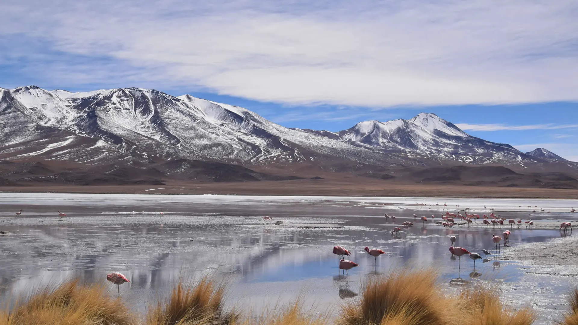
- Flamingo viewing at Laguna Colorada (November–March)
Important Limitations
1. Incahuasi Island Closure
When the Salar floods between January and March, it looks serene on Instagram. Behind the wheel of a 4x4, it requires extreme caution.
A thin layer of water is stunning for mirror photos, but as water accumulates (often 10 to 30 cm deep), the underlying salt crust dissolves into soft, muddy brine. Driving 45 minutes across deep water to reach Incahuasi Island isn't just prohibited by park rangers—it’s dangerous. Sinking an axle into submerged brine destroys vehicle electronics and leaves passengers stranded in freezing salt water.
That’s why during peak flood weeks, responsible drivers take you out onto firm, shallow shelves near the rim (around Colchani). You get identical, crystal-clear mirror reflections and fiery sunsets, without turning the trip into an emergency recovery operation.
2. Northern Salt Flat Access
The northern side of the Uyuni salt flat becomes impassable in heavy rain. Tours adapt by staying on the southern, more stable sections . This doesn't limit the mirror experience—it just changes the route.
3. Southern Circuit Reroutes
While the 3-day Eduardo Avaroa Reserve tour runs year-round, routes may change after heavy rain . Reputable operators monitor daily and adapt.
4. Flight Disruptions
Winter isn't the only risk. Wet season thunderstorms can also affect flights to Joya Andina. Allow buffer days.
Shoulder Months: The Best of Both
Late March–April and October–November offer transitional conditions . You might see:
- Remaining mirror effects in April
- Drier surfaces for photography
- Fewer crowds
- Milder temperatures
As one source notes, "experienced photographers often name these windows as their favorite"